The journal
The ImaginEarth journal
The place of the month, guides to create and choose your poster, behind the scenes of our images and our exhibitions.
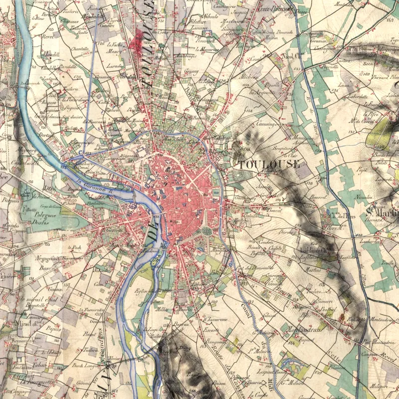
The Historic map rendering: the French staff map in relief
The French staff map (carte d'état-major), surveyed and watercoloured by hand between 1820 and 1866, draped over the real relief of the land: your region as it was nearly two centuries ago.
Read the articleAll articles
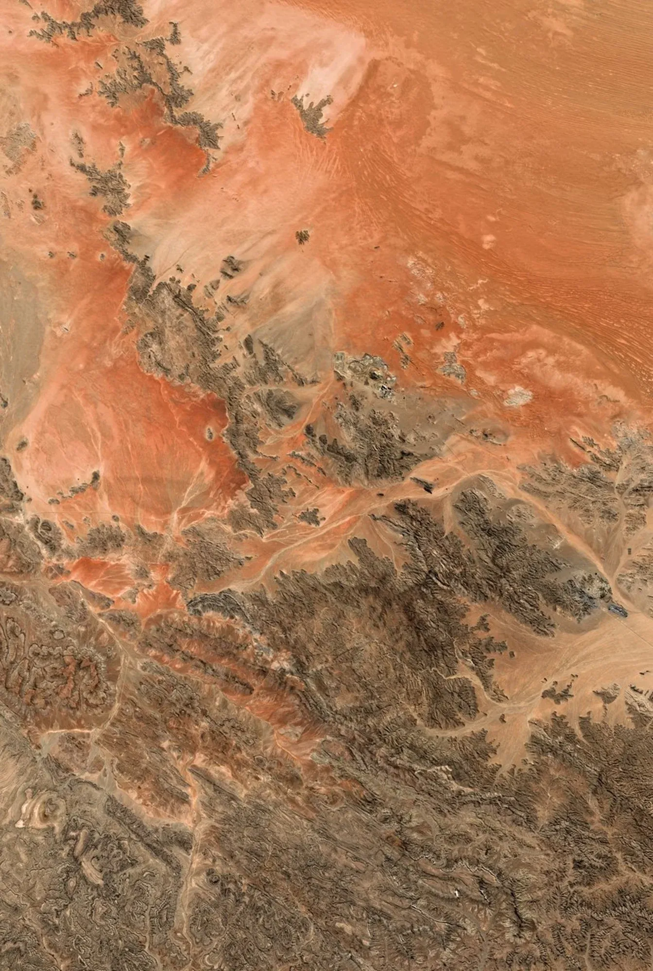
Place of the month: the Namib Desert
The oldest desert in the world, its red dunes sculpted by the wind, seen from above: the place of the month for October 2026.
Read the article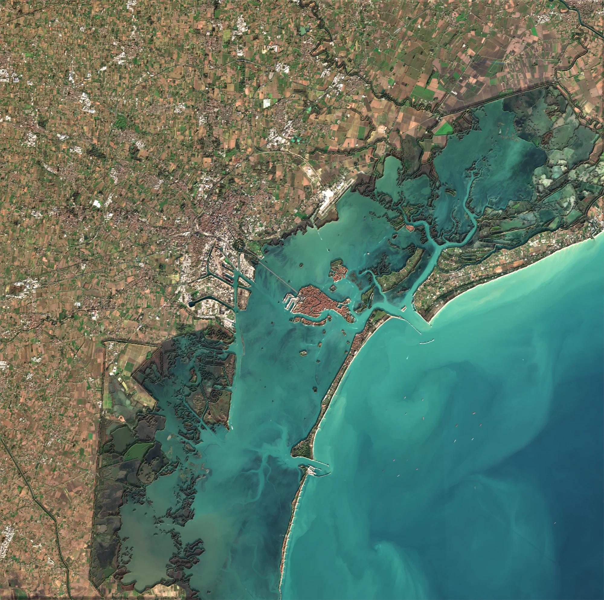
The Satellite rendering: the Earth in true colours
A true-colour Sentinel-2 satellite image, lit by the relief of the land: the rendering for regions, coasts, deltas and mountains all over the world.
Read the article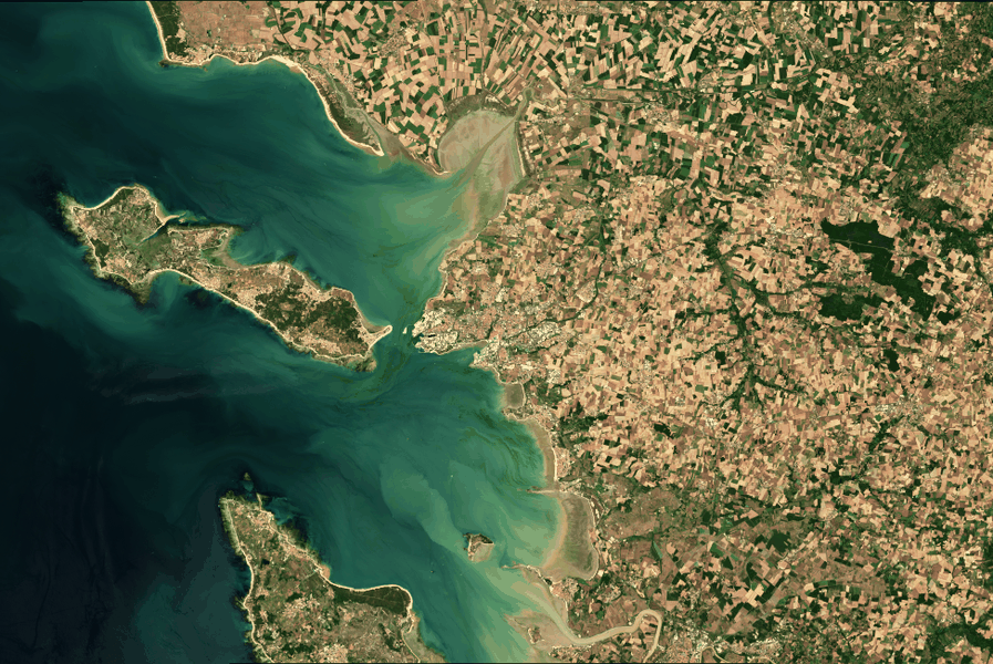
The Aerial rendering: France photographed at 20 cm
IGN aerial photographs, detailed to 20 centimetres, draped over the relief: the rendering to see your town, village or coast as never before.
Read the article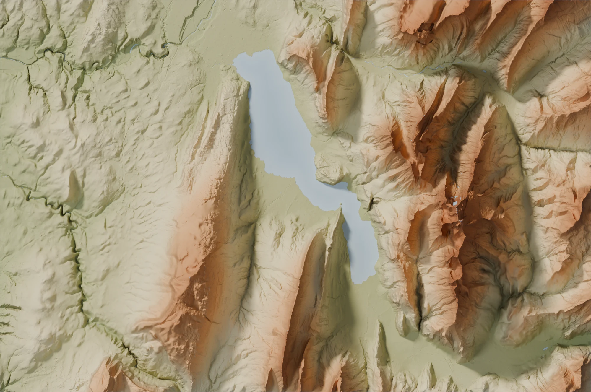
The Relief rendering: the Earth in 3D, in the style of your choice
Mountains, valleys and volcanoes modelled in 3D, anywhere in the world and with no maximum size, in eight styles: Relief, Plaster, Graphite, Realistic, National park, Sage, Terracotta, Olive and old rose.
Read the article
Satellite, Aerial, Historic map or Relief: which rendering to choose?
Four ways to see a place from above: comparing the Satellite, Aerial, Historic map and Relief renderings by the size of the place, the detail you want and the style of your interior.
Read the article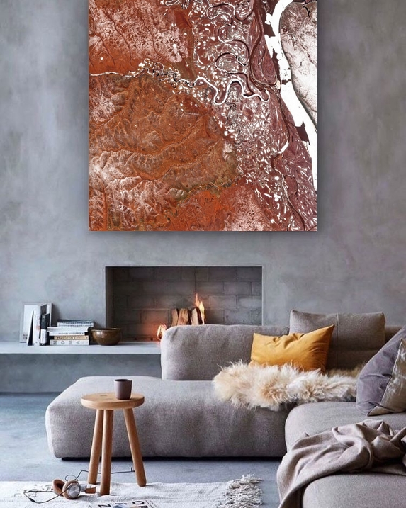
Gift idea: give the map of a place that matters
The place of birth, where you met, the family home or unforgettable holidays: give a poster seen from above, unique and personal. Our tips to choose it and order it in time.
Read the article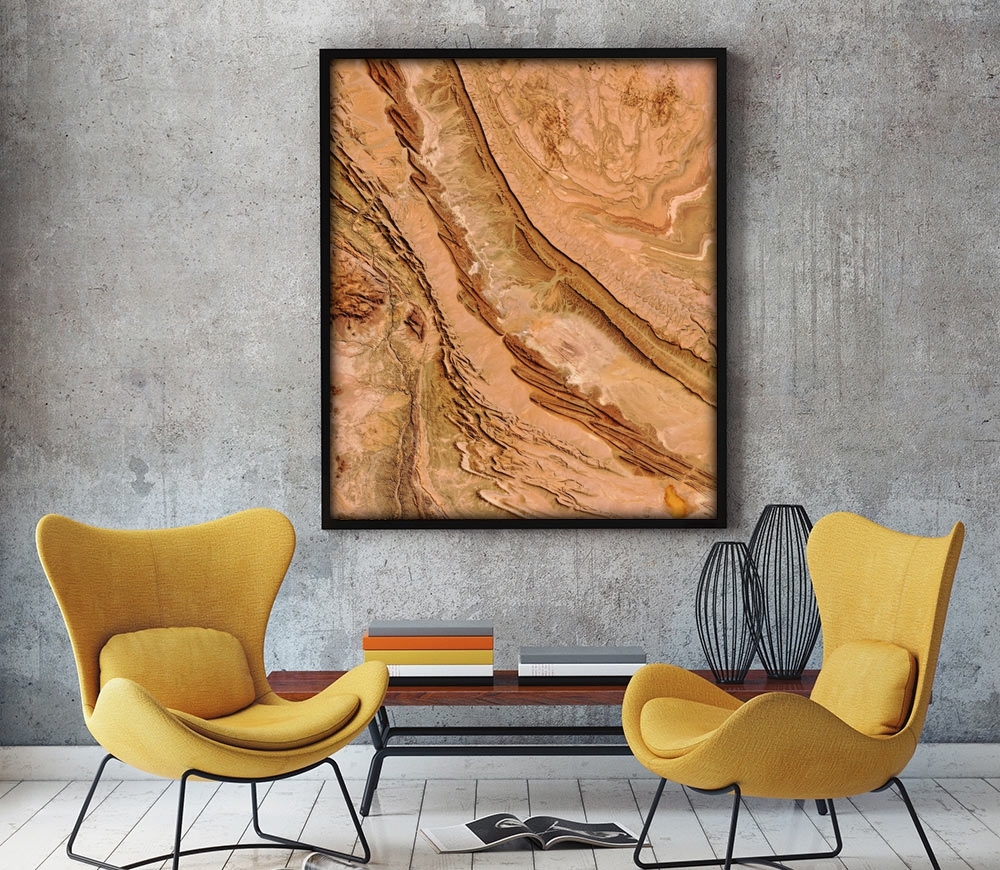
Decorating with an image seen from above: ideas room by room
Which image seen from above, in which size and on which material for the living room, the bedroom, the office or the hallway: our ideas to decorate with a satellite poster or a relief map.
Read the article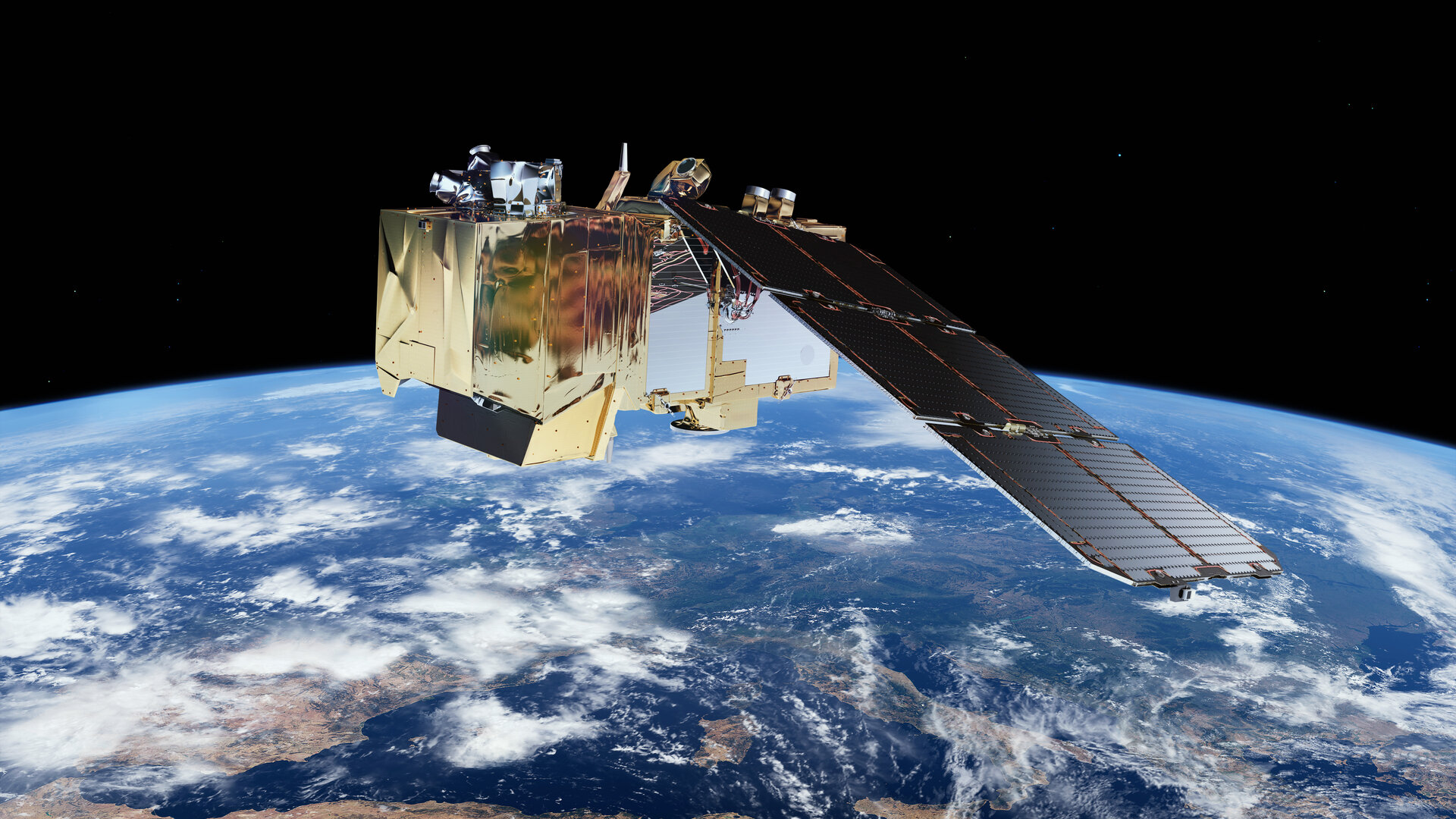
Where our images come from: from satellite to poster
The Sentinel-2 satellites of the European Copernicus programme, IGN aerial photographs, then processing and retouching: how an ImaginEarth image is made.
Read the article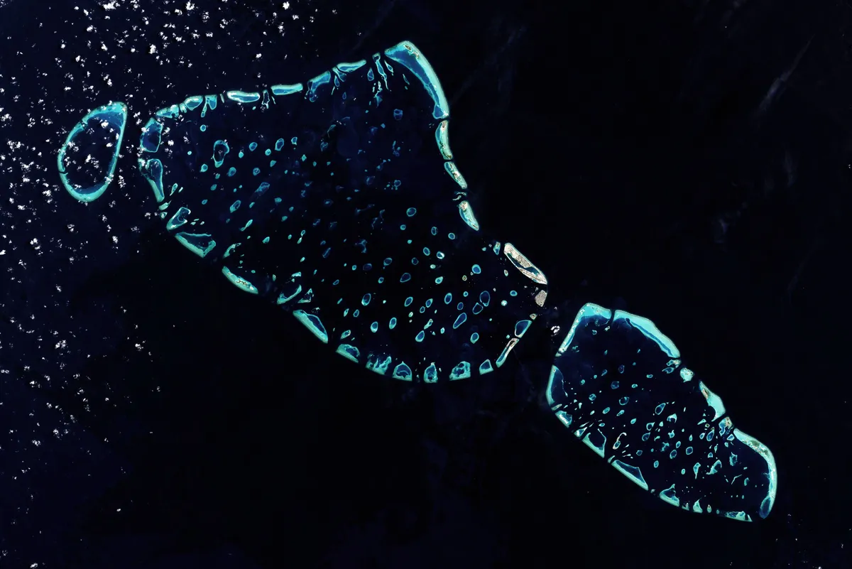
Create your image, step by step
Choosing the place, the rendering, the style and the shape: the guide to creating your image seen from above, for free.
Read the article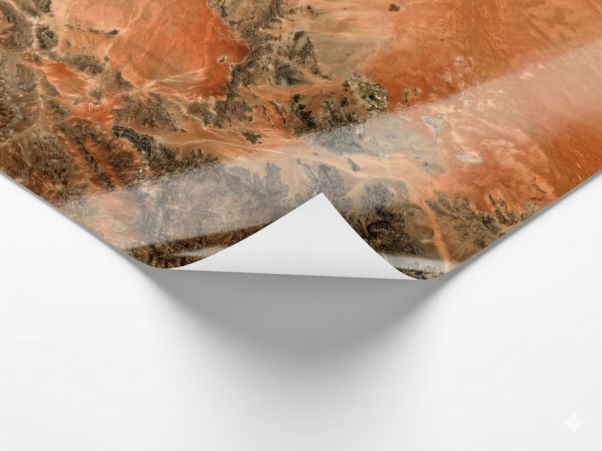
Choosing your poster: size, material and frame
The three sizes, the three materials, the frames and the mat: everything to choose the poster that will look best in your home.
Read the article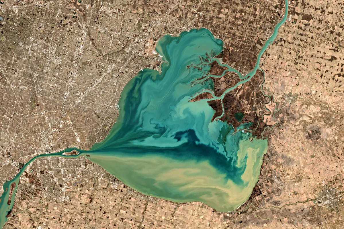
GeoStratify, the team behind ImaginEarth
ImaginEarth is developed by GeoStratify, the GIS and Earth observation consultancy of its founder, Guillaume Rieu: training, application development and consulting.
Read the article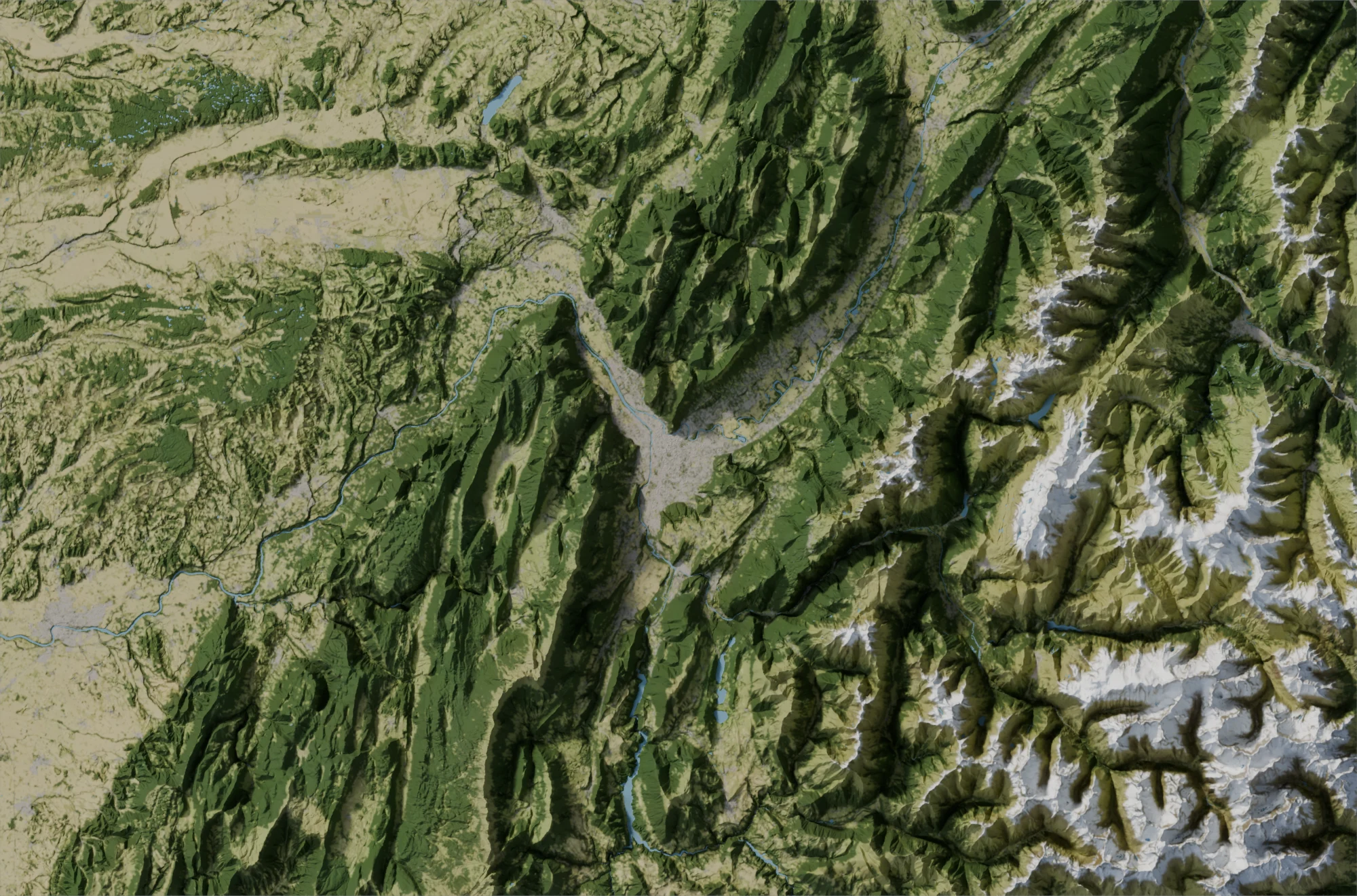
Place of the month: Grenoble and its three massifs
Grenoble in the heart of the Alps, between the Chartreuse, the Vercors and Belledonne, as a relief map in several styles: the place of the month for September 2026.
Read the article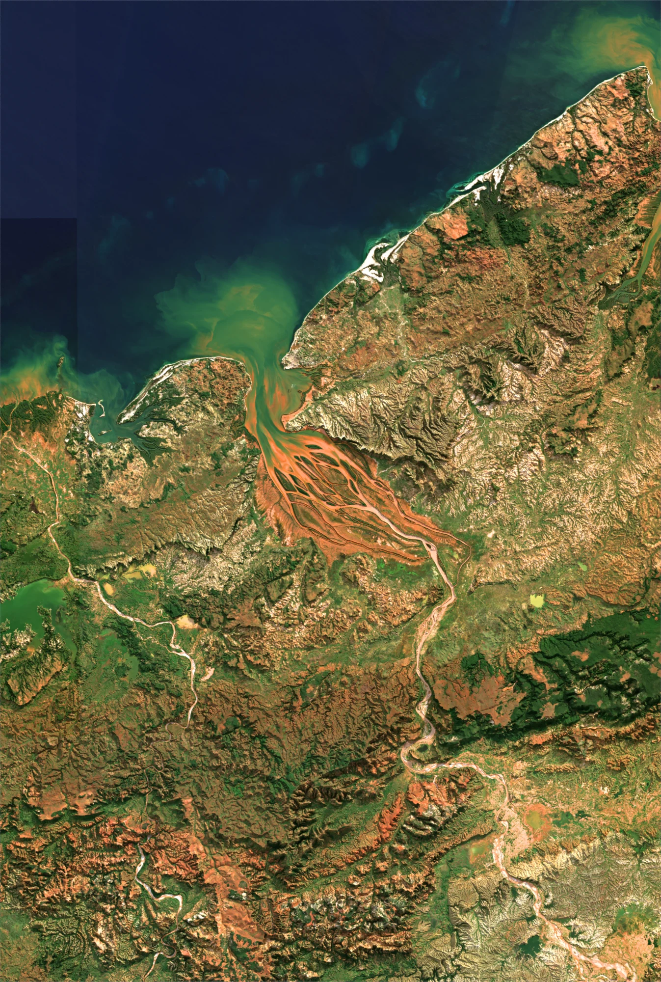
Place of the month: Madagascar, the red island
The red lands of Madagascar, carried by the rivers to the Indian Ocean, seen from space: the place of the month for August 2026.
Read the article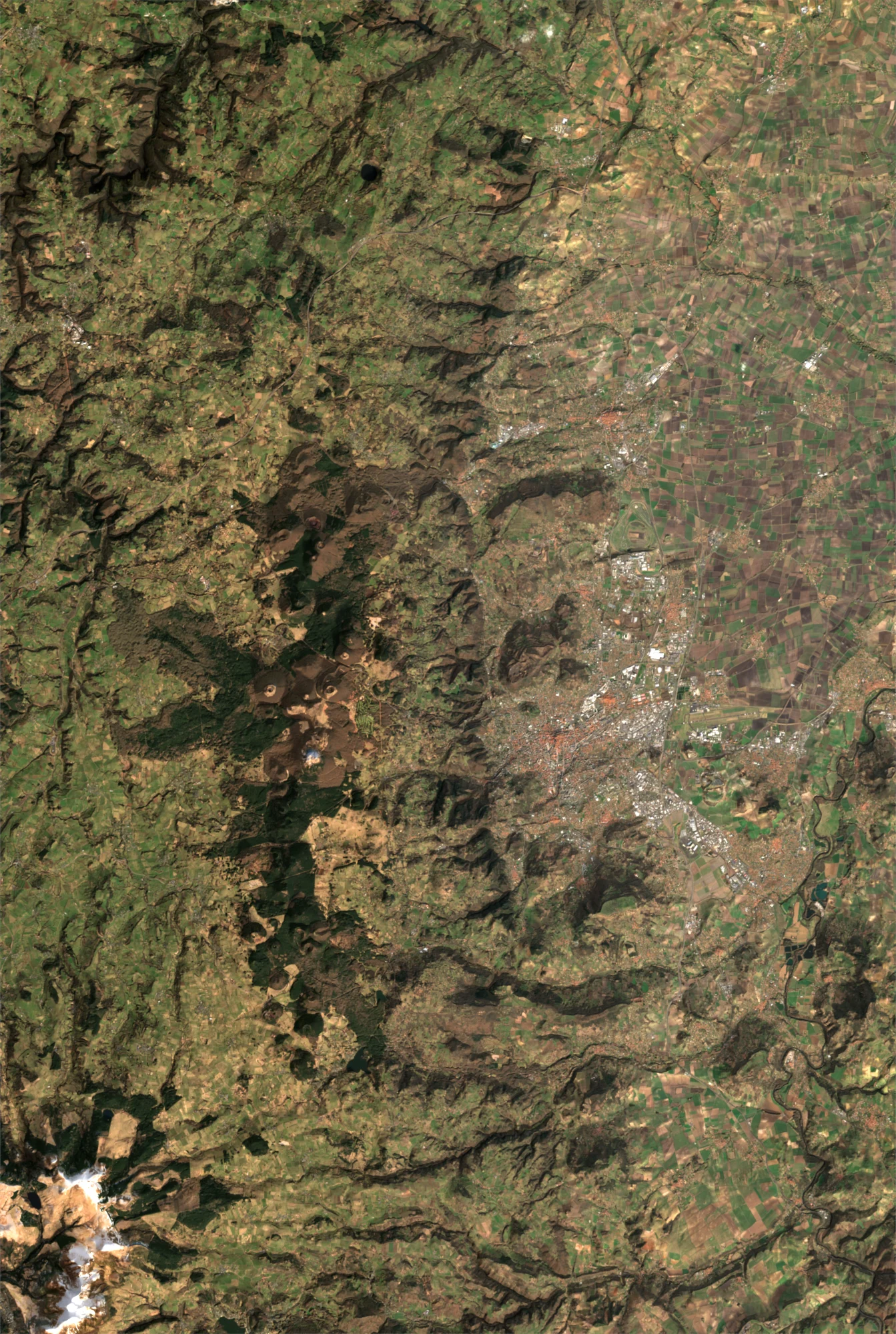
Place of the month: the Chaîne des Puys
Nearly eighty volcanoes lined up above Clermont-Ferrand, craters, domes and lava flows: the place of the month for July 2026.
Read the articlePlace of the month: Venice and its lagoon
The Venetian lagoon, its islands, its canals and the strip of coast that shelters it from the Adriatic: the place of the month for June 2026.
Read the article
The EO4ART project
A closer look at the EO4ART project, which makes it possible to create personalised artistic satellite images.
Read the article
The IE4Education project
A project run with the European Space Agency (ESA) to bring space into education.
Read the article
Support and pre-incubation
ImaginEarth was supported through a pre-incubation programme by Aerospace Valley.
Read the article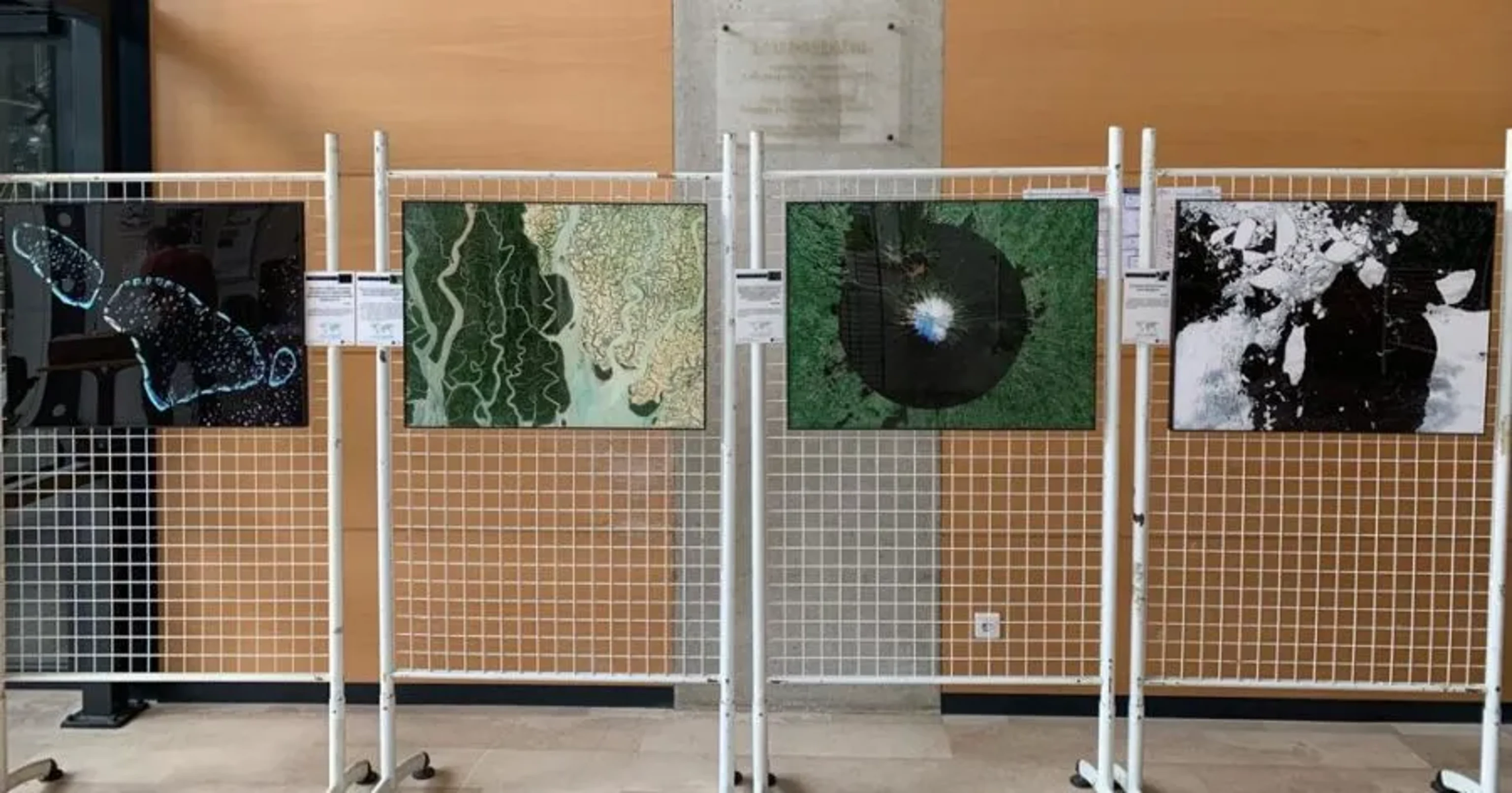
Exhibition at Paul Sabatier University
A photographic exhibition of satellite images at the heart of Paul Sabatier University in Toulouse, combining art and scientific rigour.
Read the article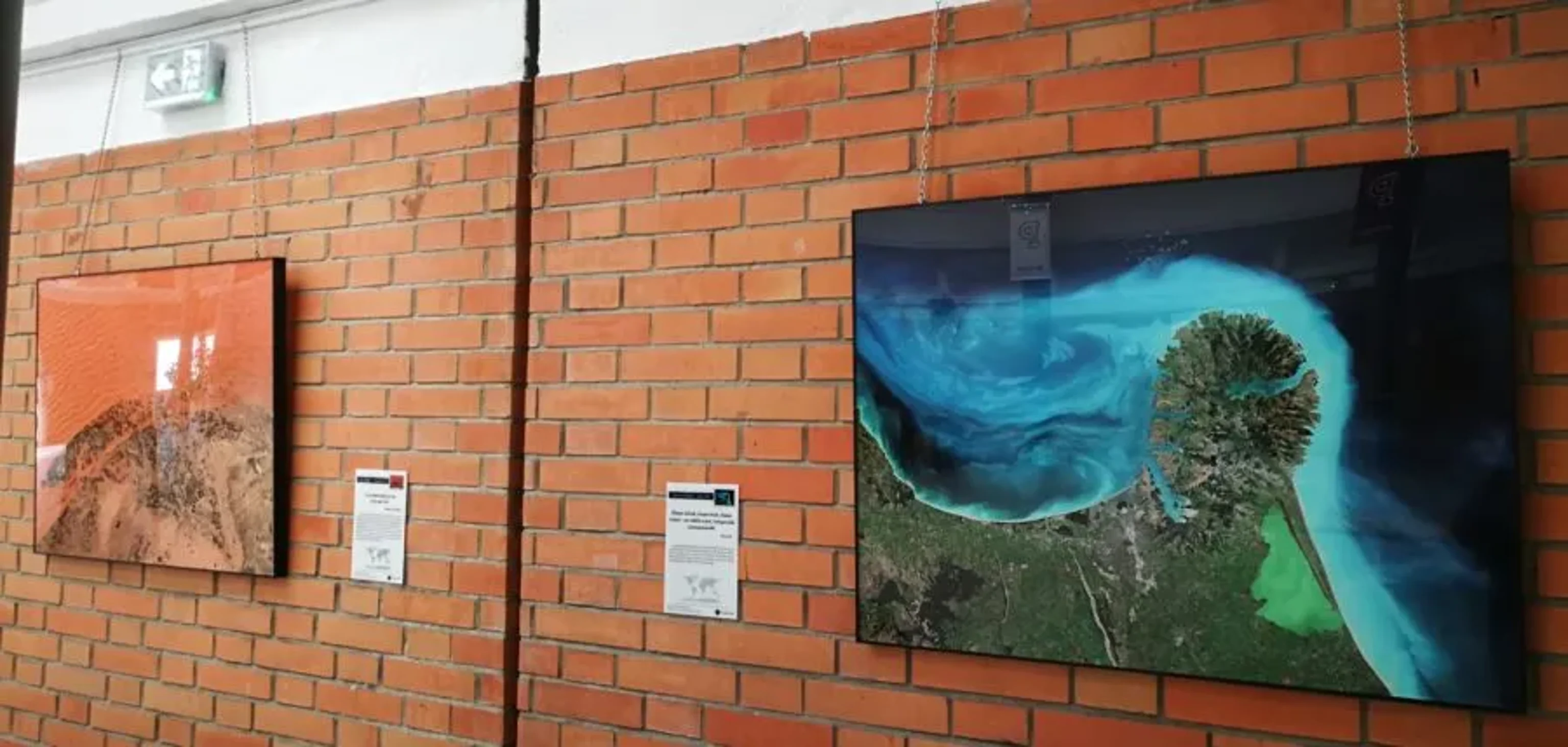
Exhibition at the Purpan School of Engineering
Discover how ImaginEarth brought a unique exhibition of satellite images to the premises of the Purpan engineering school.
Read the article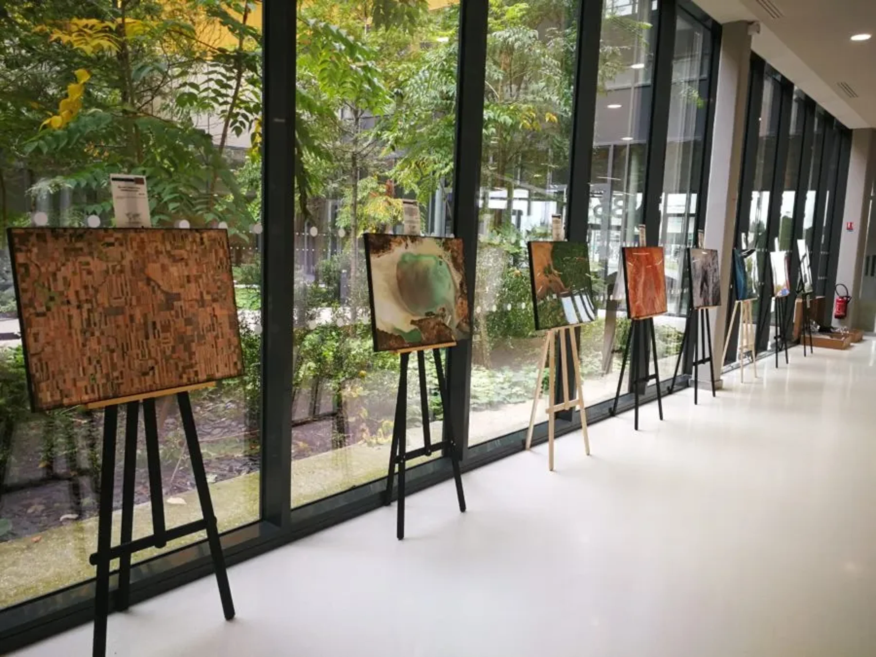
Exhibition of satellite images at B612 - Toulouse
Discover a unique exhibition of satellite images at the heart of B612, the Toulouse innovation centre dedicated to aeronautics and space.
Read the articleYour place, seen from above
Create the image of a place that matters to you, free, in a few minutes.
Create my image