Since 2018
The story of ImaginEarth
A project born in Toulouse, where science meets art — satellite and map data turned into works of art.
Origins
Born of a fascination
for the Earth
Founded in September 2018 in Toulouse, ImaginEarth was born where three passions meet: photography, cartography and the environment.
From space, satellites capture a reality the human eye cannot see directly — shapes, textures and colours of astonishing complexity. This data belongs to everyone. The idea was simple: make it visible, make it beautiful, and share it.
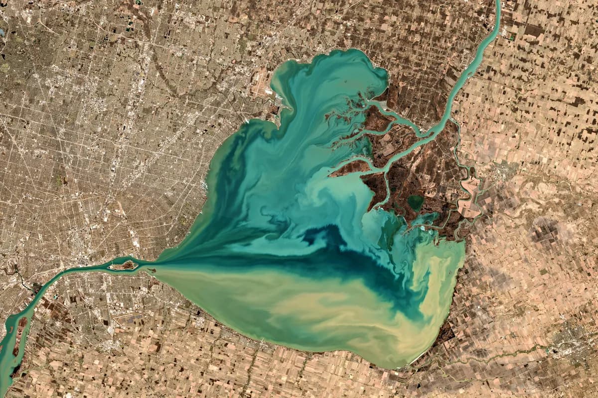
"For a long time I have been captivated by the beauty, the variety and the complexity of our planet, but also by its precariousness and its vulnerability."Guillaume R. — Founder of ImaginEarth
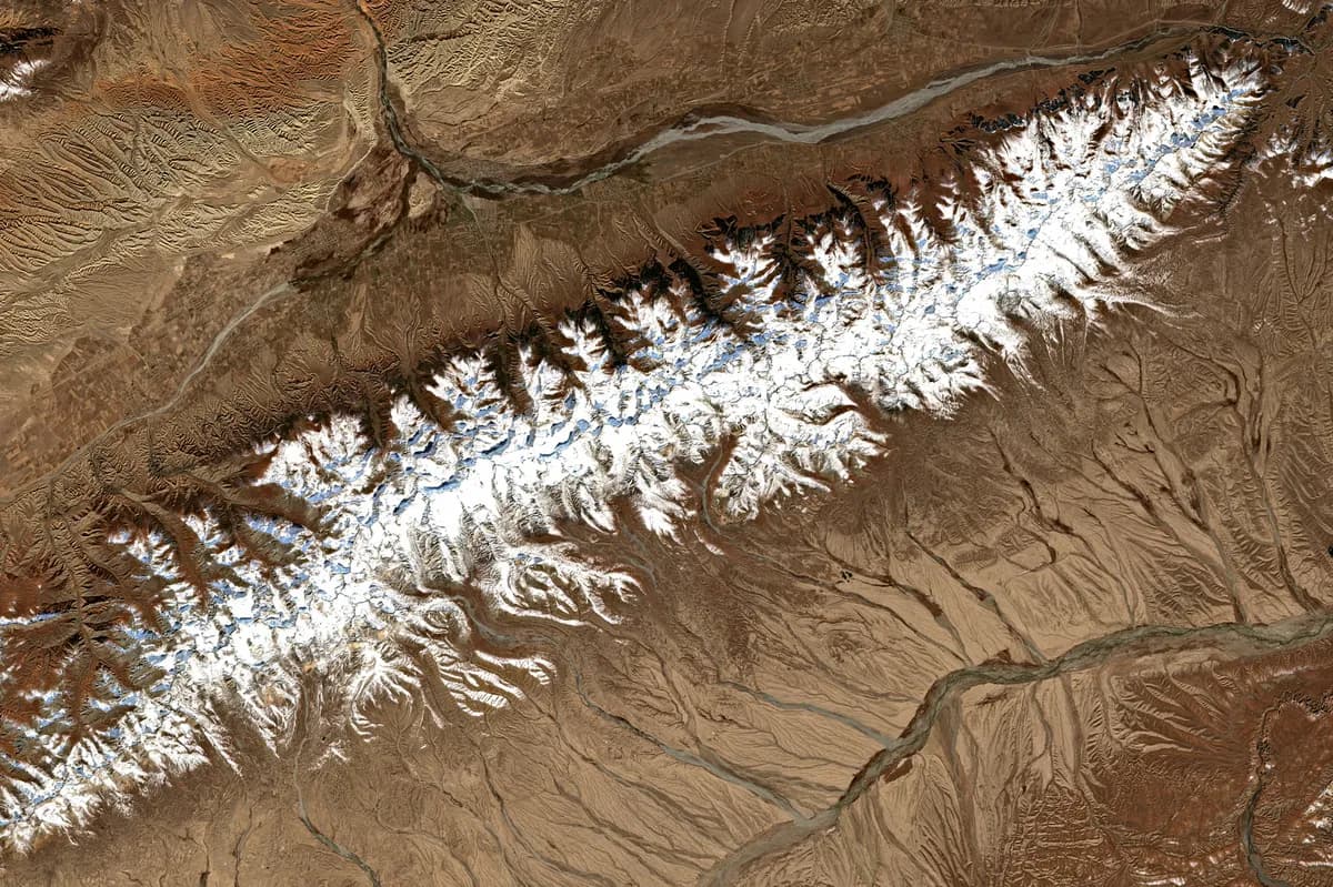
The Earth seen from space
Process
From map data
to photographic print
Satellite images
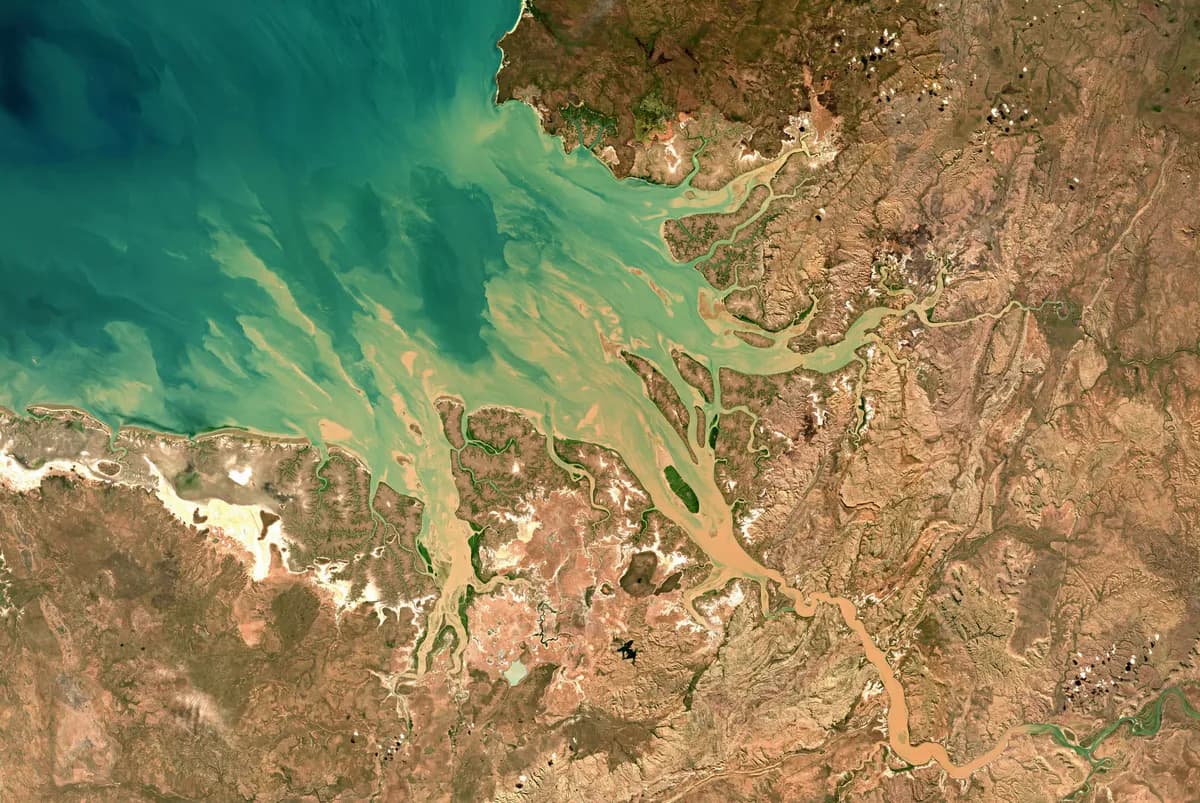
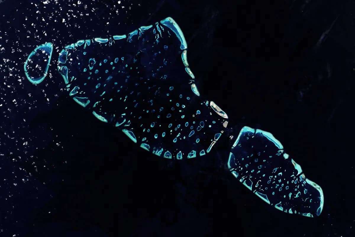
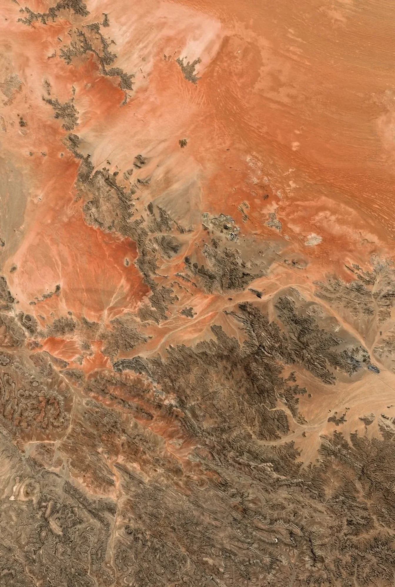
Each image comes from the European Sentinel-2 satellites launched as part of the Copernicus programme. Raw, precise and royalty-free data — an exceptionally rich raw material.
Relief and elevation
By combining elevation data with satellite images, we create unique compositions that reveal the shapes of the relief, the textures of the land and the contrasts of light.
Retouching and printing
For every order, the image is retouched by hand to adjust the colours, contrasts and details, creating a unique work of art.
Vision
Images,
stories
"These are not just images. They are photos that tell a story, bring back a memory, bear witness to the changes under way — so why not share them, print them and contemplate them at home?"
Explore the hundreds of images available or create your own composition from a place close to your heart.