Where our images come from: from satellite to poster
Copernicus, Sentinel-2, IGN and our craft
Copernicus, European Earth observation
Copernicus is the Earth observation programme of the European Union. It provides vast and precise data to better understand our planet and its environment. ImaginEarth relies on this data to reveal the beauty of our landscapes.
Sentinel-2, our eyes in space
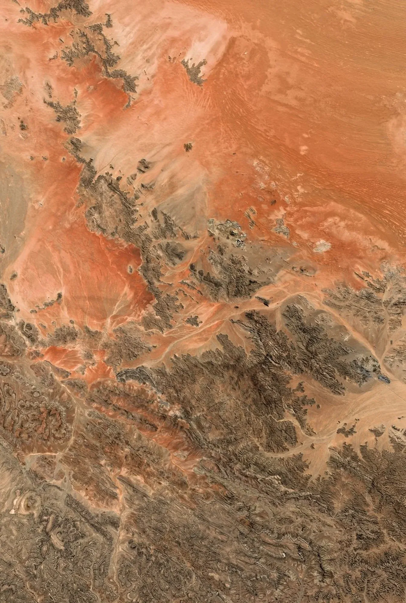
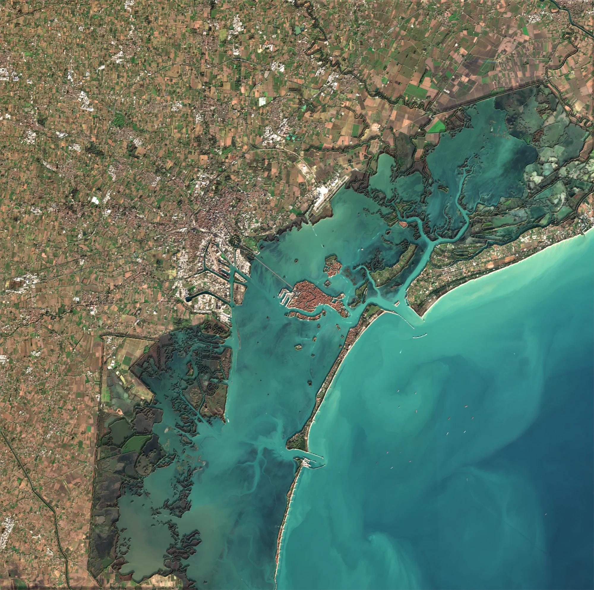
Our satellite images come from the Sentinel-2 satellites. Orbiting 786 kilometres above the Earth, they regularly photograph all the land, with a 10-metre detail. Pre-processed by the European Space Agency (ESA), these images are selected and downloaded by ImaginEarth.
IGN aerial photographs
For smaller areas in France, we use the aerial photographs of IGN, the French national mapping agency, detailed to 20 centimetres: you can make out streets, fields, boats.
The staff map
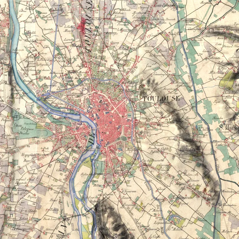
The Historic map rendering uses the French staff map, surveyed and watercoloured by hand between 1820 and 1866, scanned by IGN.
The relief
The Relief rendering, and the shading of the Satellite rendering, rely on digital terrain models: Copernicus DEM worldwide, and the national relief models, measured to the metre, in some fifteen countries including France (IGN). Sea floors come from nautical charts.
From signal to image
We first look for the best image of the chosen period, the least cloudy one. The signal is then processed to reveal the colours: brightness, contrast, saturation, relief. Framing, proportions and sharpness are adapted to printing.
Retouching by hand
Before every print, the image is reworked by hand for a faithful, luminous result, then printed by our partner printers.