The Historic map rendering: the French staff map in relief
19th-century France, drawn by hand, in 3D
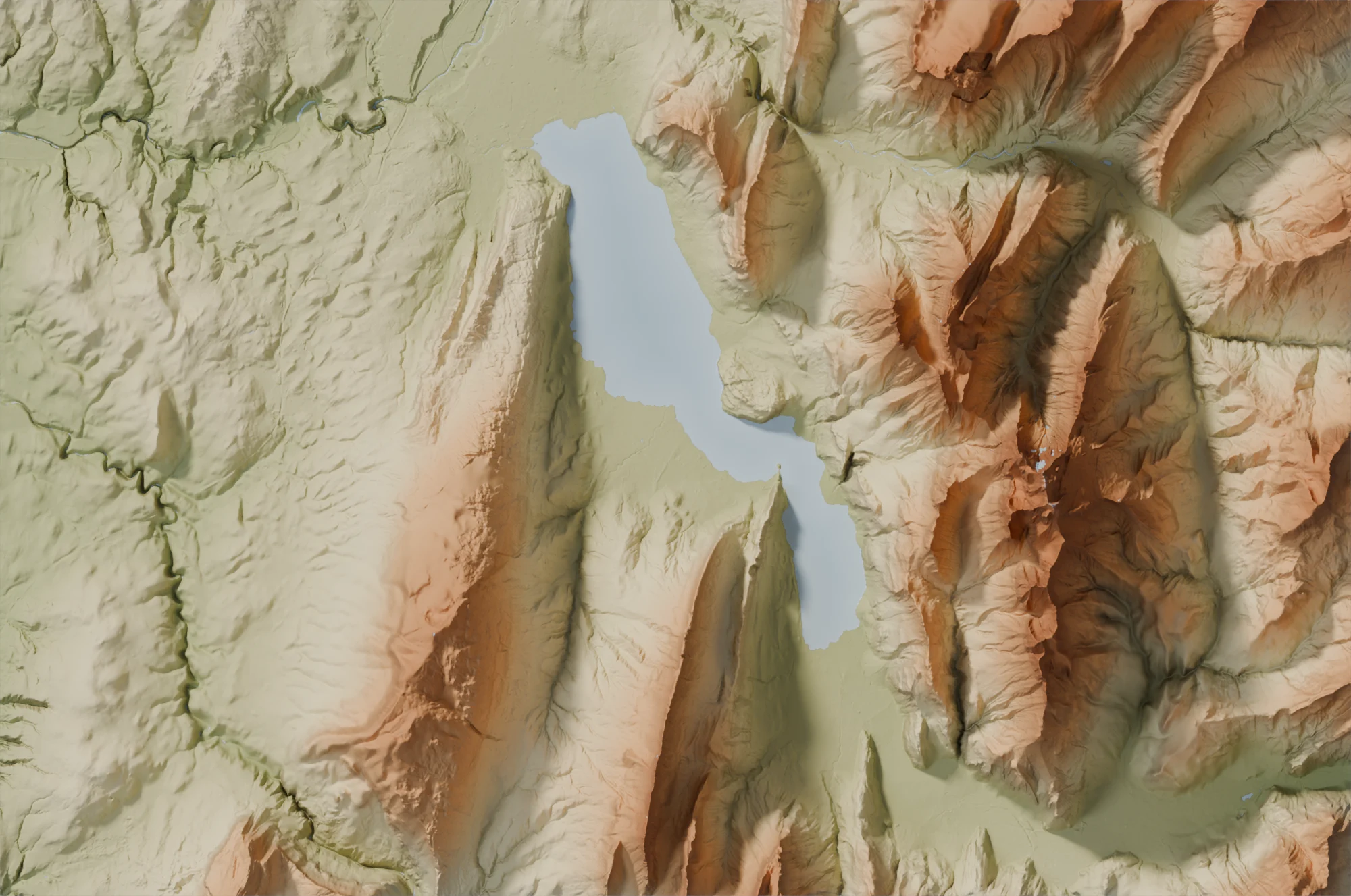
The Historic map rendering brings back to life the French staff map, the great map of 19th-century France, by draping it over the real relief of the land. Your village, your valley, your coast appear as they were nearly two centuries ago, in volume.
The staff map
Between 1820 and 1866, the officers of the corps of engineer-geographers travelled across France to survey the first detailed map of the country, at 1:40,000. Their surveys, drawn and watercoloured by hand, show the woods, meadows, vineyards, marshes, rivers and every hamlet, with the place names of the time. IGN has scanned them: this is the SCAN État-major® 40K.
How it is made
We drape the map over the relief of the ground measured by IGN, softened to keep the main shapes of the landscape: valleys deepen, hills and mountains rise under the map, lit by a low sun. The paper takes on a cream tint, that of a map kept in a drawer.
Strengths
- A piece of history: a map surveyed and coloured by hand, turned into a decorative object.
- The villages, paths, woods and place names of the time, to compare with today.
- The real relief in volume, which flat old maps do not show.
Good to know
- In mainland France and Corsica only.
- It is France before the motor car: today's roads, neighbourhoods and recent developments are not on it, and some place names have changed.
- The map joins sheets surveyed at different dates: where they meet, the colours may change slightly.
- From 200 to 1,500 km²: beyond that, the lettering becomes too small to read.
Which places?
- the family village and its hamlets;
- a mountain valley, a plateau, an island off the coast;
- a vineyard, a forest, a marsh of the past.
Strong reliefs, the Alps, the Pyrenees, the Massif Central, the Vosges or the Jura, stand out best in volume; in the plains, the map itself makes the charm of the image. As a gift, the family home on the map of your great-grandparents' time tells a story: our guide Gift idea gives other ideas.
Which poster size?
The map is scanned with a detail of about 4 metres. Size M (60 × 40 cm) is sharp for every area offered; size L (75 × 50 cm) needs an area of about 240 km², size XL (90 × 60 cm) about 350 km². The site only offers the sizes that print sharply for your area.
To compare with the other renderings, read Which rendering to choose?.
The Historic map rendering in the gallery
Create a historic mapLoading the images…