Made-to-order posters · since 2018
Your image of the Earth.
Create unique, personalised satellite posters. Composed in seconds, retouched by hand, printed in France.
Pick any place in the world: we turn it into a satellite, aerial or relief image, retouched by hand and printed in France.
or explore the gallery →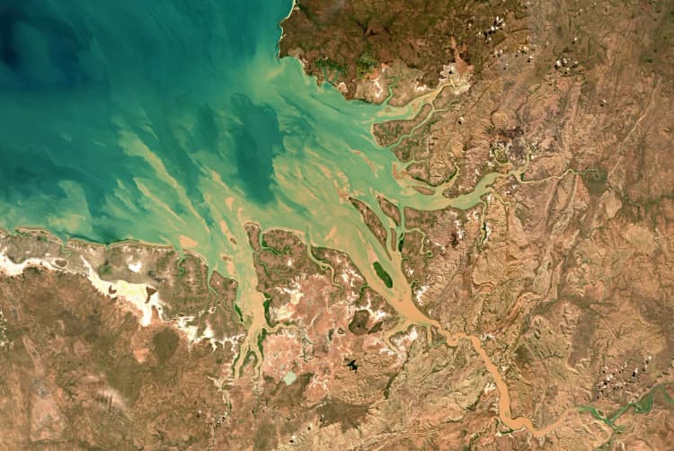
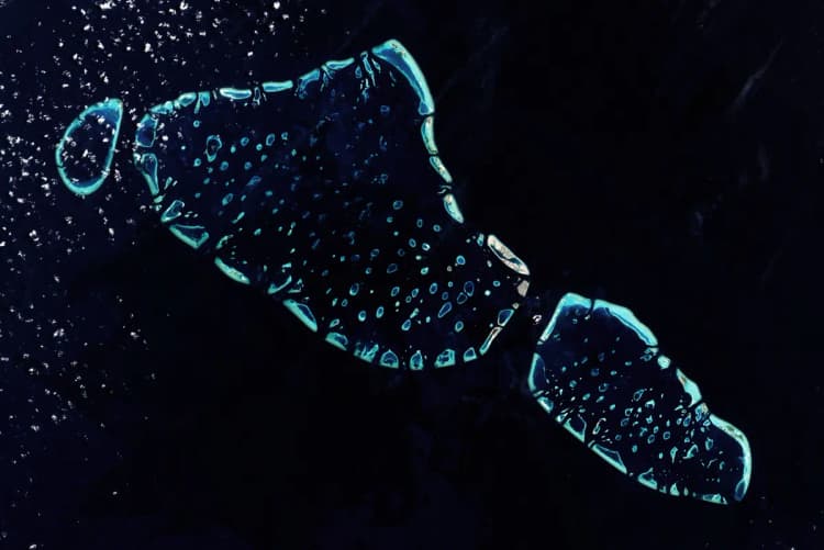
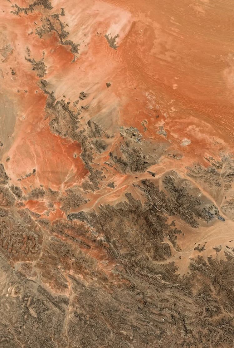
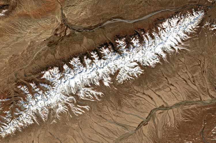
- Free previewin a few minutes
- From €2960 × 40 cm poster
- Retouched by handbefore every print
- Free deliveryin France, 10 working days on average
- Secure paymentby card, with Stripe
How it works
Your poster in three steps
- 1Pick a place
Search for a town, a mountain, a coast… or draw the area on the map.
- 2Choose the rendering
Satellite images, aerial photo, historic map or relief map.
- 3Get the preview
Free, in a few minutes. You order the print only if you like it.
Our renderings
Four ways to see your place
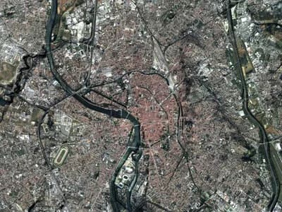 AerialIGN aerial photographs at 20 cm detail: the streets and houses of your village or town.France · 20 to 650 km²Learn more →
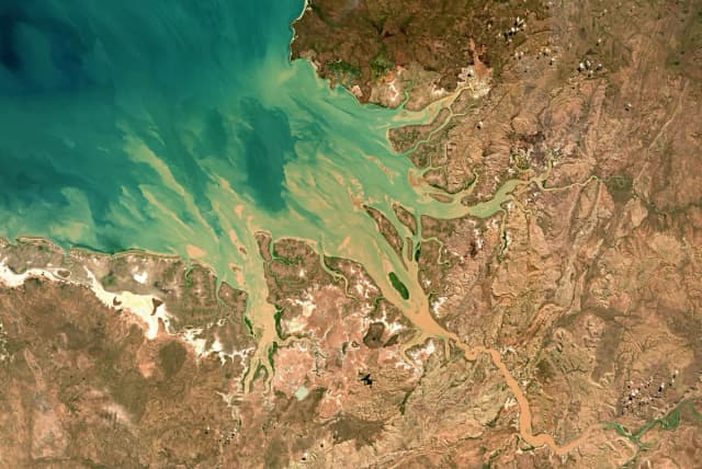
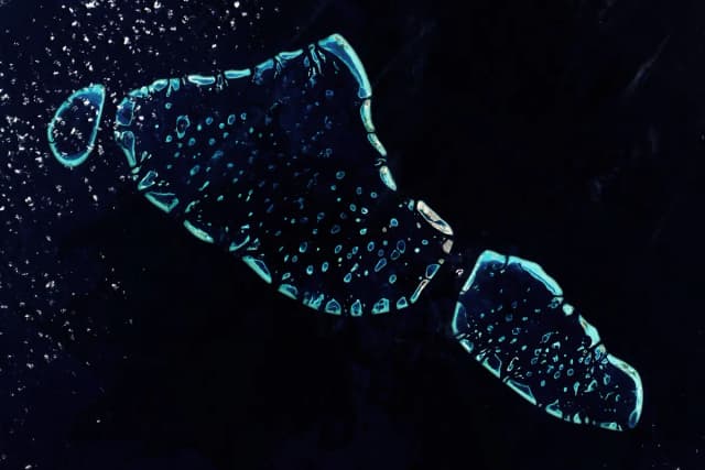
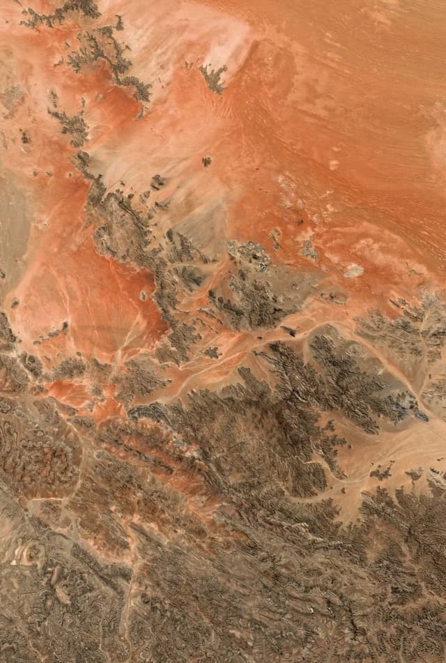
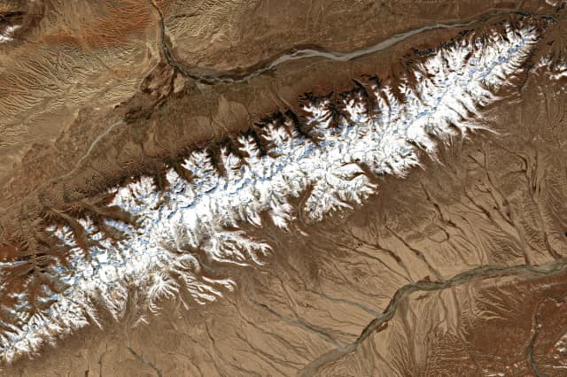
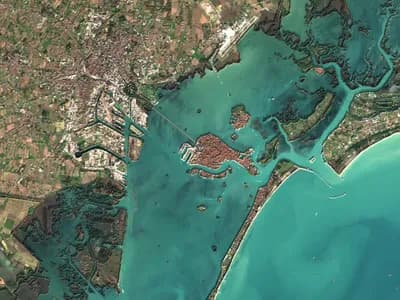 SatelliteThe true colours of the Earth seen from space, in the season of your choice, with the relief.World · 650 to 180,000 km²Learn more →
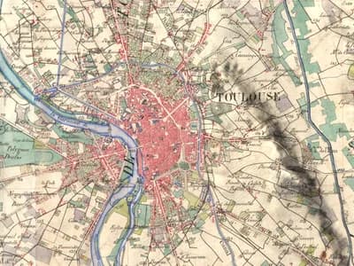 Historic mapThe 19th-century French staff map, drawn by hand, draped over the 3D relief.France · 200 to 1,500 km²Learn more →
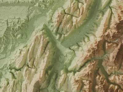 ReliefThe relief in 3D, lit like a scale model, in eight colour styles.World · from 200 km², no maximumLearn more →
Not sure? Which rendering to choose compares the four for your place.
The gallery · all over the world
Images on every continent
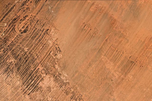
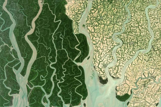
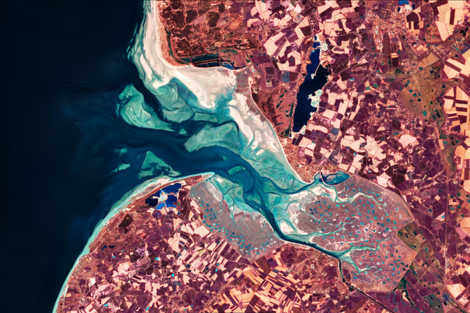
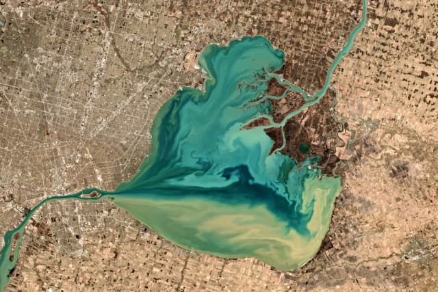
Each dot is an image from the gallery: hover over them, or tap them on a phone, to discover them.
Gift idea
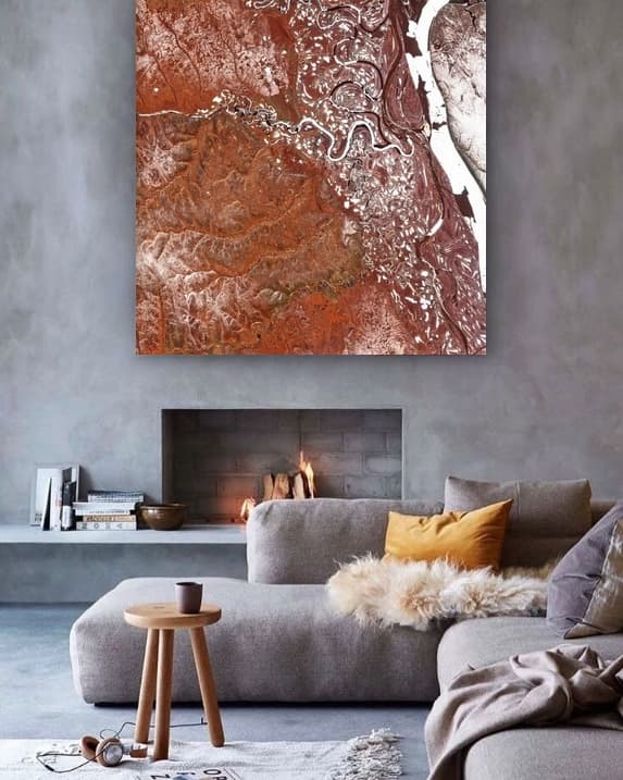
Give a place that matters
A one-of-a-kind poster nobody else will have: the place that tells a story, seen from above.
- The place of birth
- Where you met
- The family home
- Unforgettable holidays
- The mountain you climbed together
For Christmas: delivery takes 10 working days on average, so order now.
Our craft
From satellite image to art print
- 01Retouched by hand
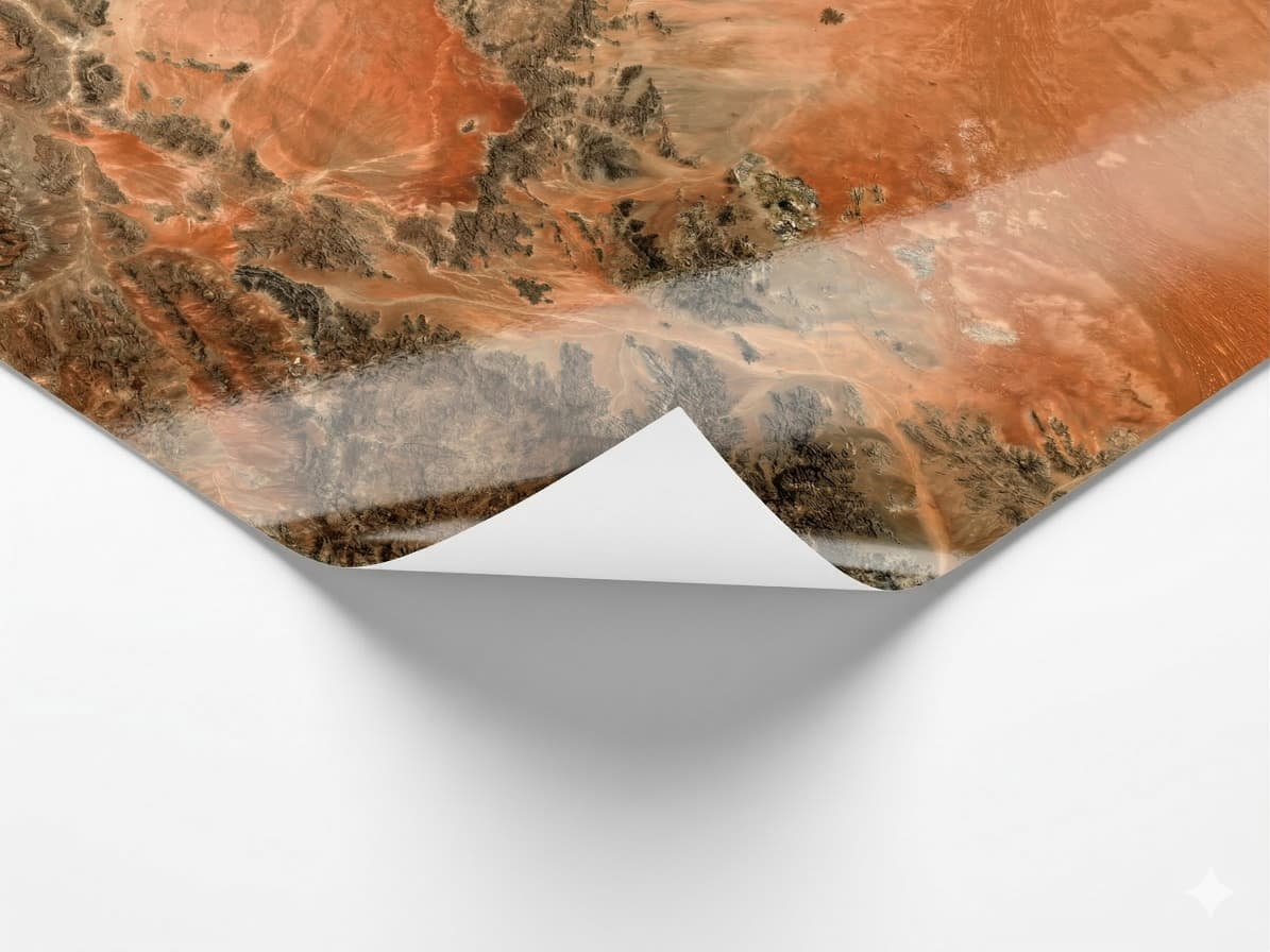
Before every print, the image is reworked by hand: colours, contrast, brightness.
- 02Premium materials
250 g satin paper, Forex or Plexiglas panel, wooden frames, in three sizes up to 90 × 60 cm.
- 03Geospatial expertise
Sentinel-2 and IGN images, processed by Earth observation specialists in Toulouse since 2018.
How much does a poster cost?
Creating the image and its preview is free: you only pay if you order the print. Posters start at €29 for 60 × 40 cm; the price then depends on the size and material. Delivery in France is included.
Which sizes and materials?
Three sizes, from 60 × 40 cm to 90 × 60 cm, in landscape, portrait or square. Printed on 250 g satin paper, Forex or Plexiglas panel; wooden frames available.
Which places can I choose?
Anywhere in the world as a satellite image, for an area of 650 to 180,000 km², and in 3D relief, from 200 km² with no maximum. In mainland France and Corsica, the IGN aerial photo, from 20 to 650 km² (a village, a town, a bay), and the historic staff map, from 200 to 1,500 km².
How soon will I receive my image?
The preview is ready in a few minutes, in “My images”. After you order, delivery takes 10 working days on average.
Is the image retouched before printing?
Yes: before every print, the image is reworked by hand (colours, contrast, brightness) for a faithful, luminous result.
Can I cancel my order?
Yes, as long as printing has not started: contact us and you are fully refunded. As the poster is made to order, it cannot be returned once printed, except for defects.
For professionals
Turnkey exhibitions of images of the Earth
Local authorities, companies, schools: already shown at B612 Toulouse, the Purpan engineering school and Paul Sabatier University.