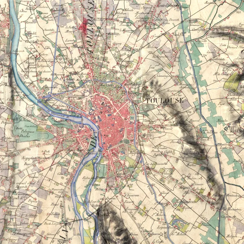
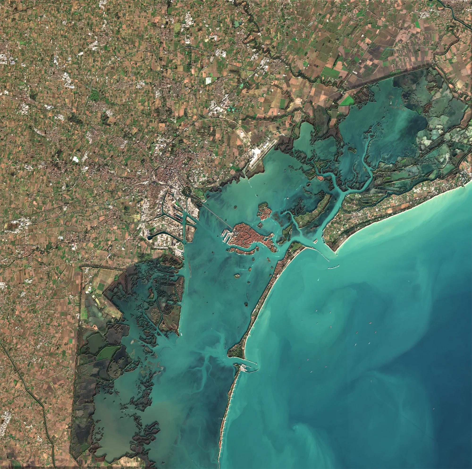
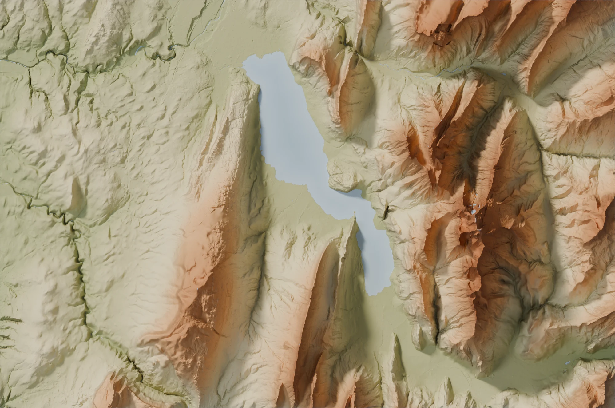
The Aerial rendering: France photographed at 20 cm
IGN aerial photographs, for a village, a town, a bay
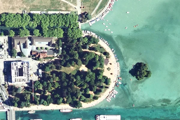
The Aerial rendering is our most detailed one: you can make out the streets, the roofs, the fields, the boats of a harbour.
How it is made
The images are the aerial photographs of IGN, the French national mapping agency, taken from a plane with a 20-centimetre detail. We use the latest photograph of your area, and its date is shown on your image.
They are draped over the relief of the ground, measured to the metre by IGN: a hill, a cliff, a deep valley take on volume.
Strengths
- Our most detailed rendering: streets, roofs, gardens, vineyards, the boats of a harbour.
- The relief to the metre, even for a village.
- All of mainland France and Corsica, from a village to a town.
Good to know
- In mainland France and Corsica only.
- Neither the year nor the season can be chosen: it is IGN's latest survey of your area.
- An area spanning two départements may combine two surveys, with slightly different tints.
- Offshore, where IGN did not photograph, the sea stays white.
- From 20 to 650 km²: beyond that, the Satellite rendering takes over.
The 20 cm detail
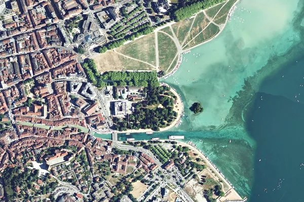
The images below show the old town of Annecy: the roofs, the canals, the trees of the Pâquier and the moored boats can be counted one by one. Over a whole area of 650 km², the same detail gives a poster you look at up close.
Which places?
- your village, your neighbourhood or your town;
- a bay, a harbour, an island off the Atlantic or Mediterranean coast;
- a vineyard, a valley, a mountain lake.
Which poster size?
With 20 centimetres of detail, every size is sharp, from M to XL. The smaller the area, the more detail the poster shows: over an area a few kilometres wide, you can count the houses. Our guide Choosing your poster helps you choose the size and the material.
To compare with the other renderings, read Which rendering to choose?.

The Aerial rendering in the gallery
Create an aerial imageLoading the images…