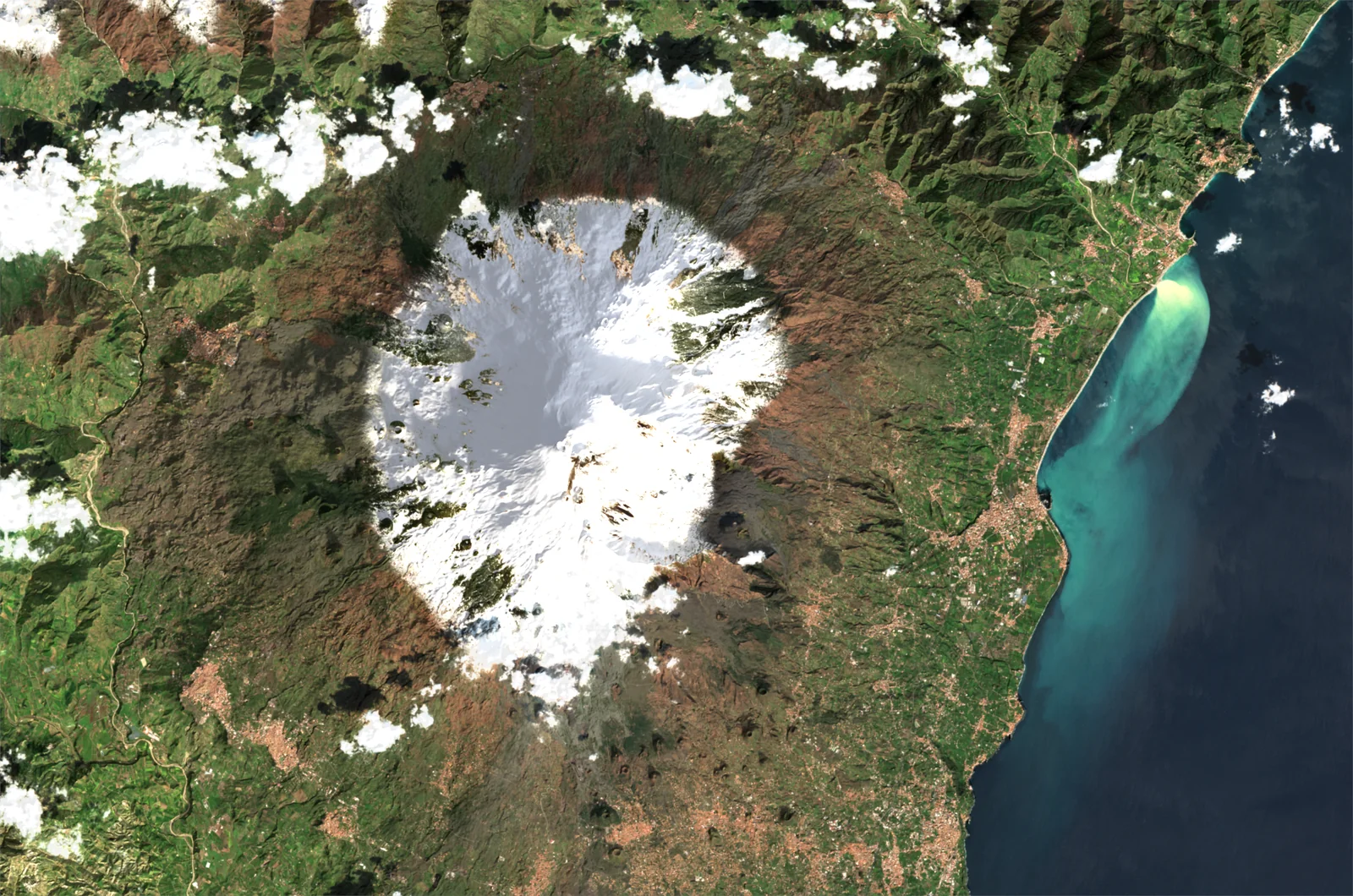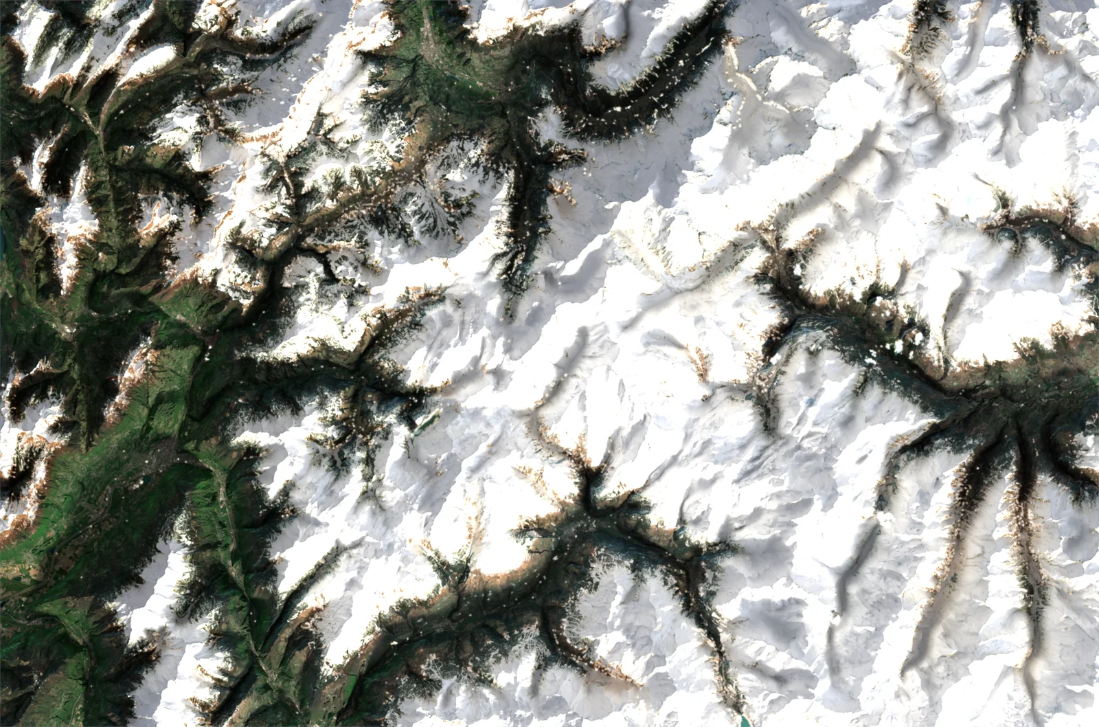
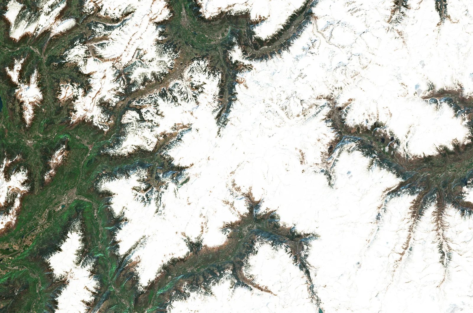
Same image, same day, same colours: drag the slider to see what the relief changes on our satellite images.
A satellite image is a photograph taken straight down, from almost 800 km up. Seen from that high, the Earth looks flat: the colours are there, but mountains, valleys and volcanoes can barely be made out.
That is what we set out to change. Every ImaginEarth satellite image is now laid on a model of the relief, then lit like a scale model. Above is the same image, from the same day and with the same colours: on the left as the satellite saw it, on the right draped over the relief.
How it is made
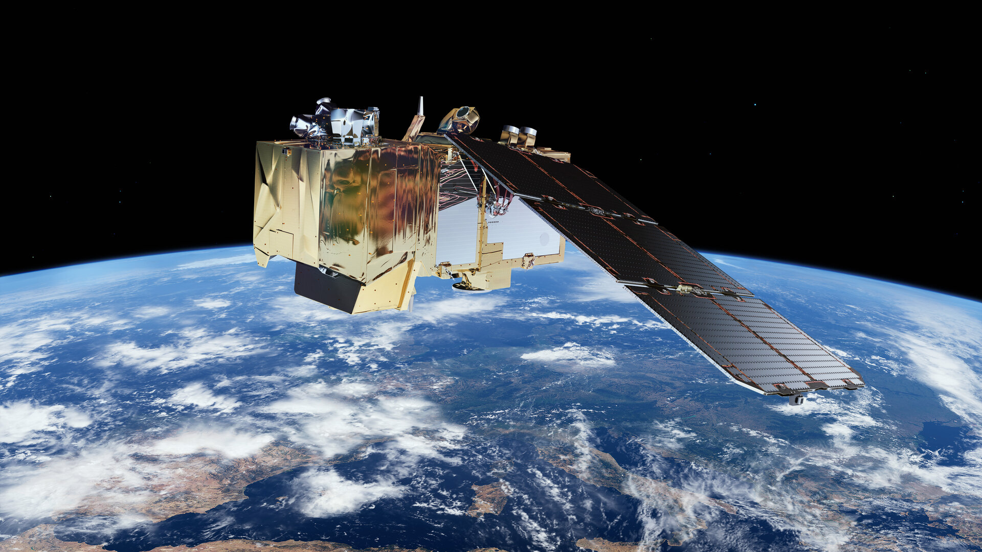
- The image comes from the Sentinel-2 satellites of the European Copernicus programme, with a 10-metre detail.
- The relief comes from a digital terrain model: IGN's in France, the worldwide Copernicus model elsewhere.
- The image is draped over this relief, then lit by the sun of the day it was taken: the shadows reveal the volumes.
The steps in detail are in the article How a satellite image is made. The relief is included in every satellite image you create, anywhere in the world.
The Satellite rendering in the gallery
Create a satellite imageLoading the images…