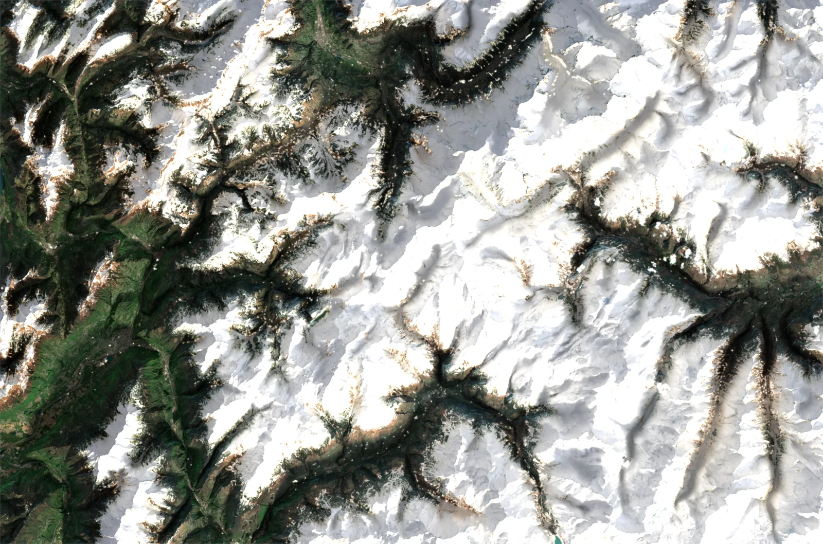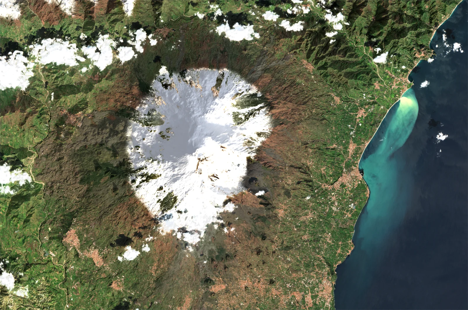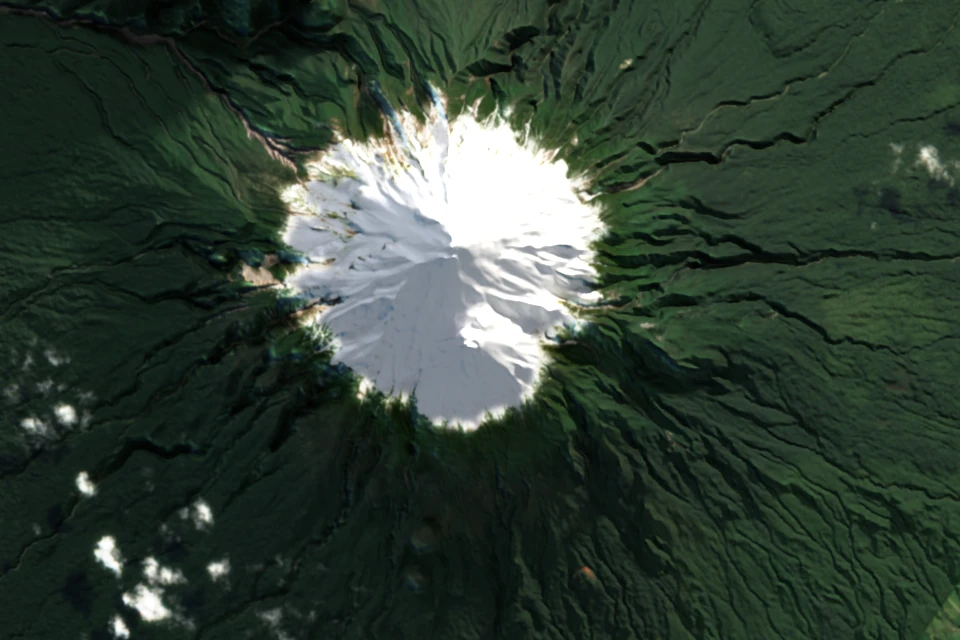
The image on the site is only a preview: compare it with the file actually printed, on a detail of a few centimetres, for satellite, relief, aerial photo and maps.
The image you see on the site is only a preview: about 2,000 pixels wide, enough to judge the framing and the colours, and to load fast. The poster is printed from a file made specially for its size, at 300 dots per inch: up to almost 12,000 pixels wide for the large size.
Above is the same detail, a few centimetres of the poster, for each of our renderings: on the left the preview enlarged to the print size, on the right the printed file. Drag the slider.
Why such a difference?
- The print file is not an enlargement of the preview: the whole chain is run again for the ordered size, with finer data (images, relief, map).
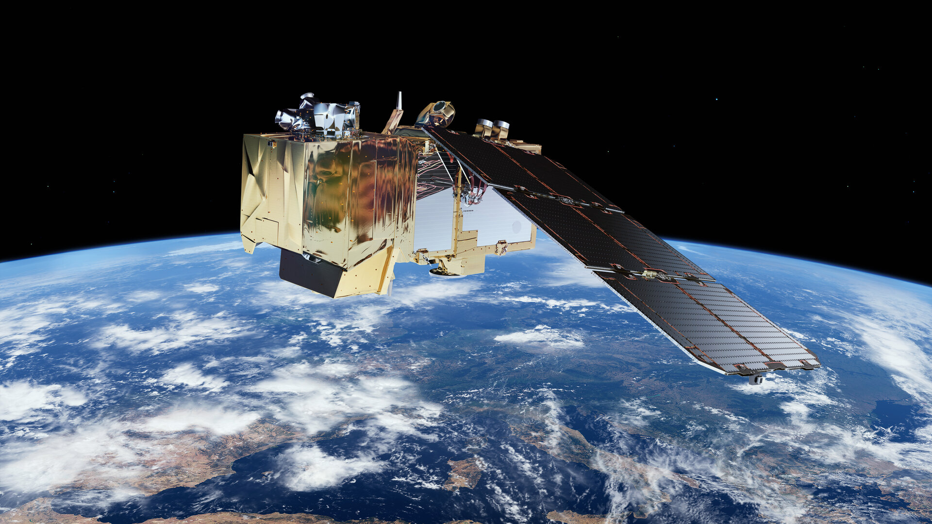
- The data follow the detail of the source: down to 10 metres for the Sentinel-2 satellite, a few tens of centimetres for IGN's aerial photographs, and IGN's very fine relief in France.
- The texts and lines of the maps are drawn again at the right size, instead of being enlarged.
And before printing
Every file is checked and retouched by hand, then printed in France on quality paper or material. You can compose your image now: the preview is free.