How a satellite image is made
From choosing the area to the poster: seven steps, on Mount Etna
Behind every ImaginEarth satellite poster is a processing chain that starts from a raw measure, taken from almost 800 km up, and ends with an image you want to hang on the wall. Here are the seven steps on one example, Mount Etna, in Sicily. Click the steps, or press play.
 1 / 7
1. The area
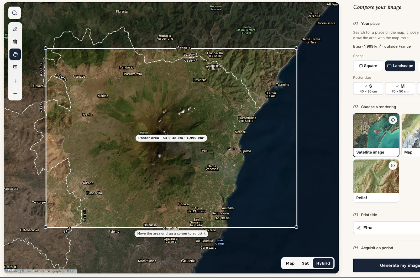
It all starts with you: on the creation page, you search for a place, choose the poster format (landscape, portrait or square) and draw the area on the map. The size of the area is checked so that the print stays sharp at the chosen size.
2. The date
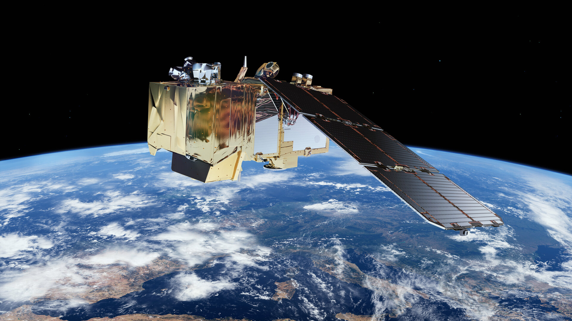
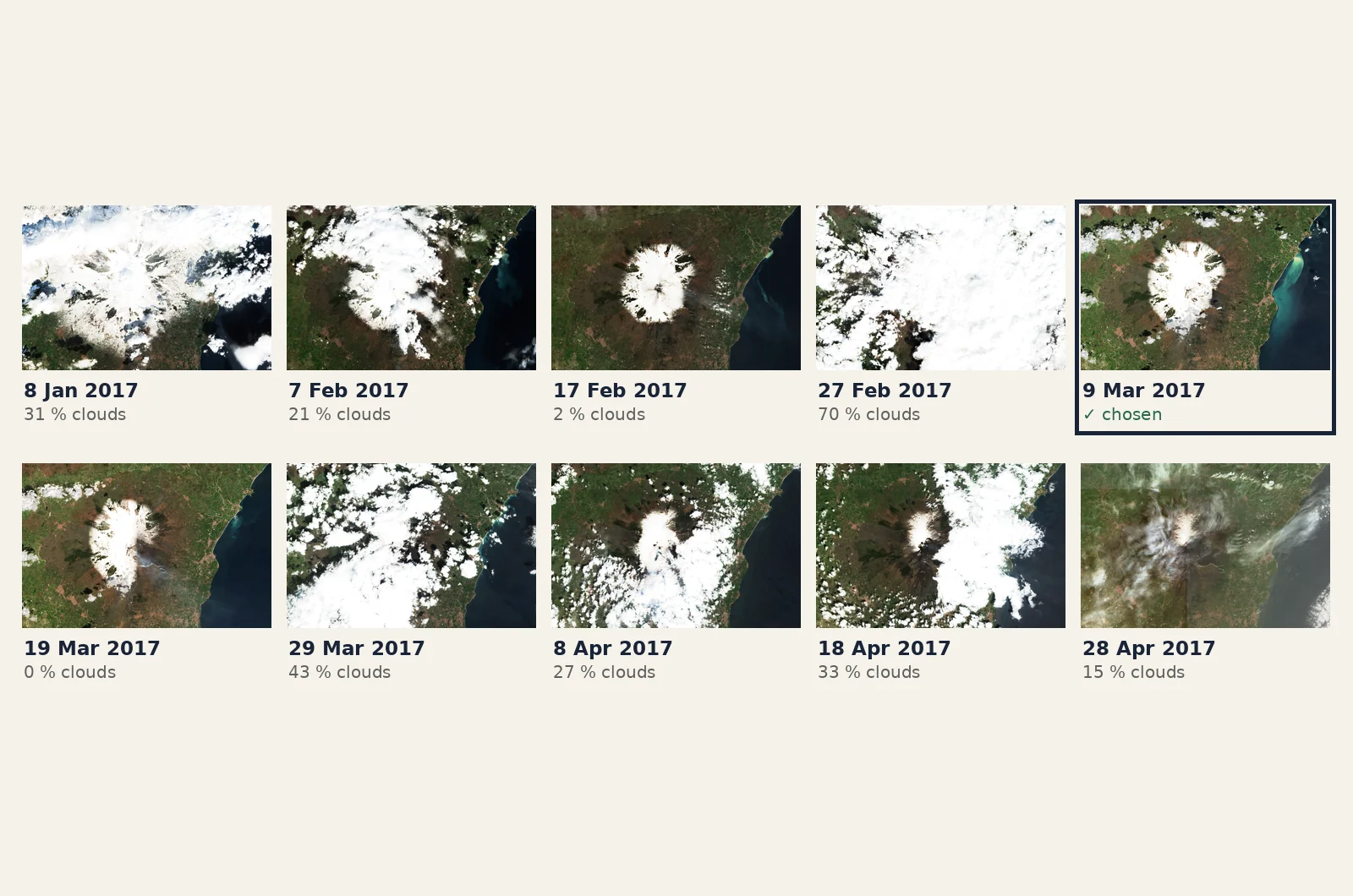
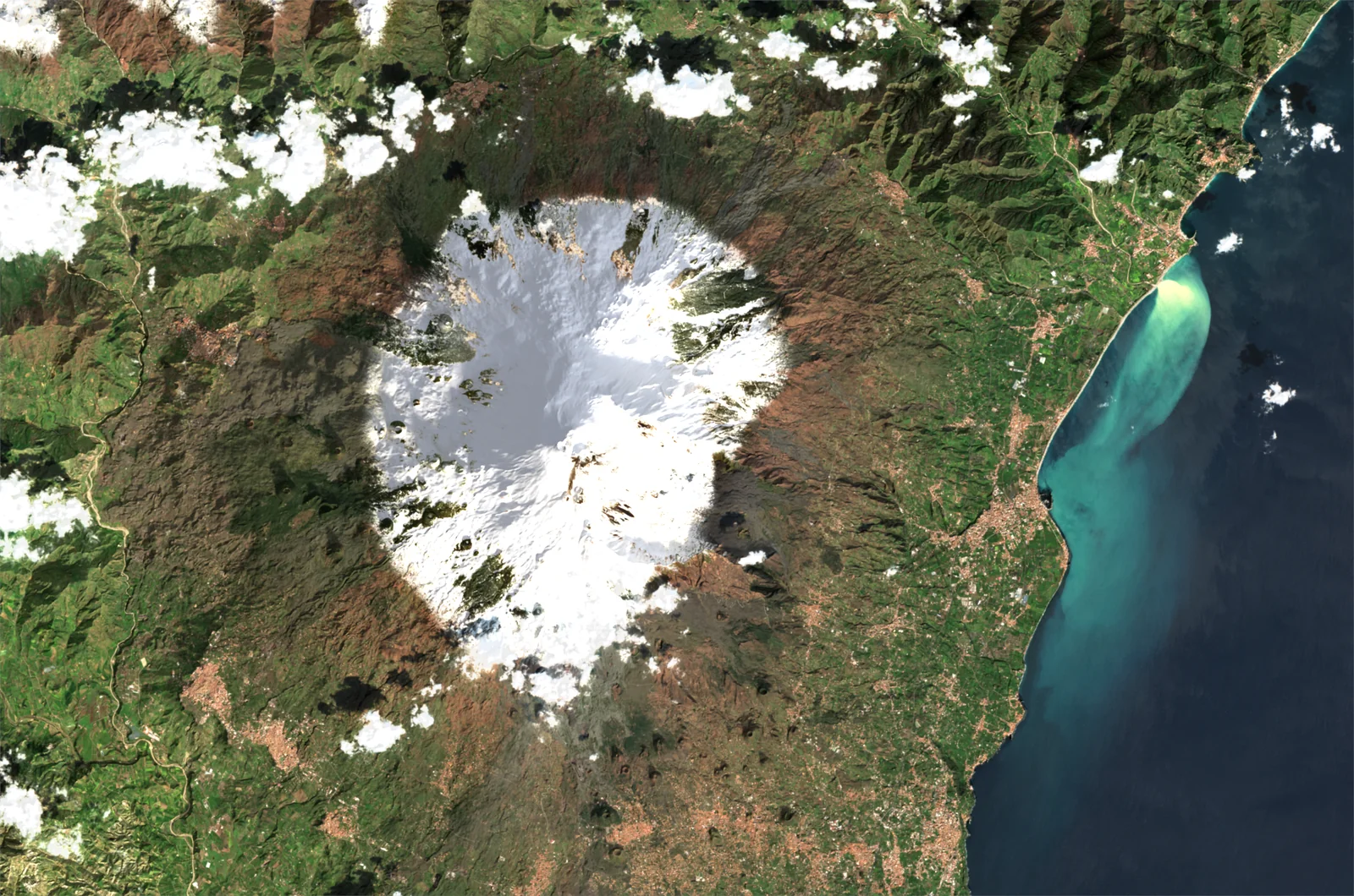
The two Sentinel-2 satellites of the European Copernicus programme photograph all the land on Earth about every five days. For the period you choose (a year and a season), we go through every pass over your area, measure its share of clouds and haze, and keep the clearest, looking at the mountains first. Over Etna, from January to April 2017, the satellite flew over ten times: most images are covered, only three are almost clear.
3. The raw measure
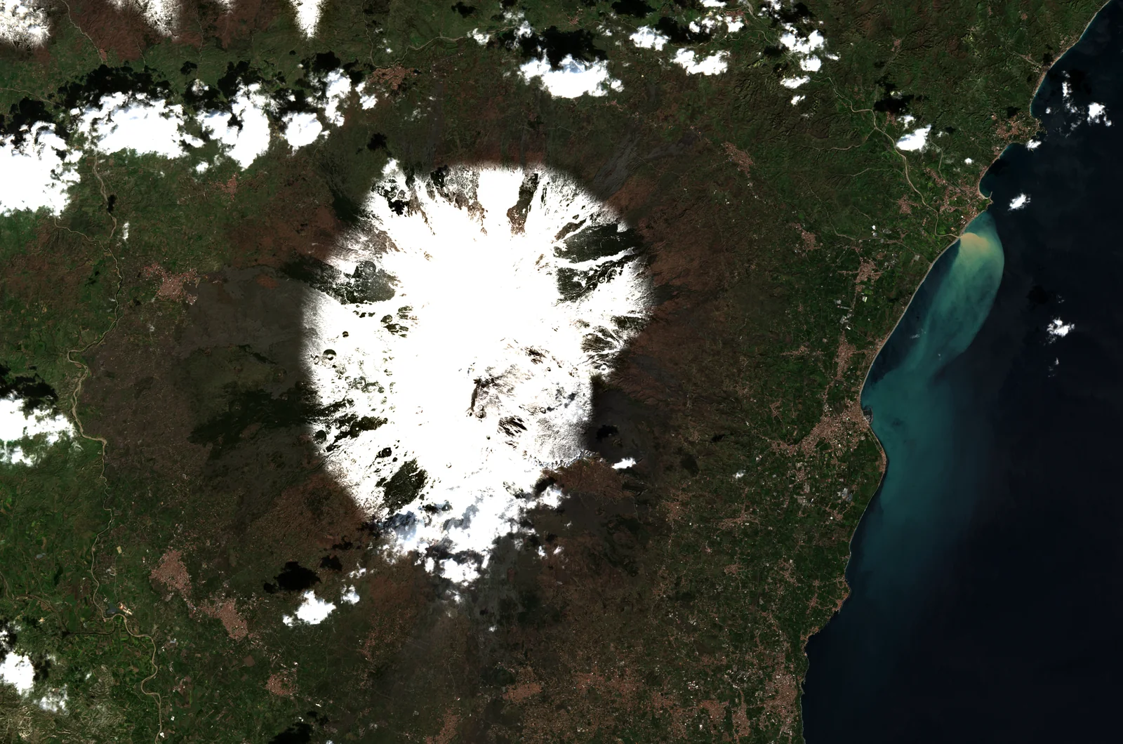
The satellite does not take a "photo" in the usual sense: it measures the share of light sent back by the ground, colour by colour. These measures are exact, but shown as they are they give a dark, bluish, dull image.
4. The colours
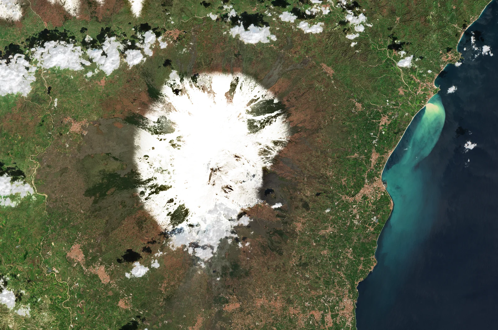
This is the most delicate step. The exposure is measured image by image, the haze of the atmosphere is reduced, and a soft colour curve keeps the detail of snow, glaciers and light sand, where an ordinary image would be "burnt". The shadows are lifted slightly according to the height of the sun that day.
5. The clouds
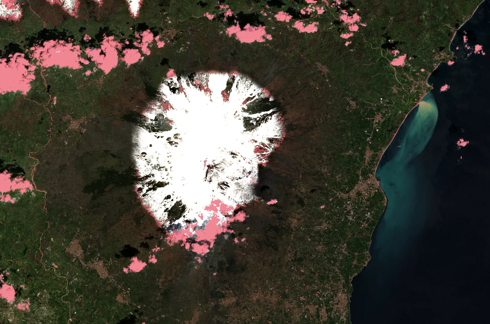
The few clouds left are part of the photograph, and we keep them. They are found, in pink on the image, from the classification that comes with every Sentinel-2 acquisition: they will get no relief shading, which would make them look solid, and float above the mountains.
6. The relief
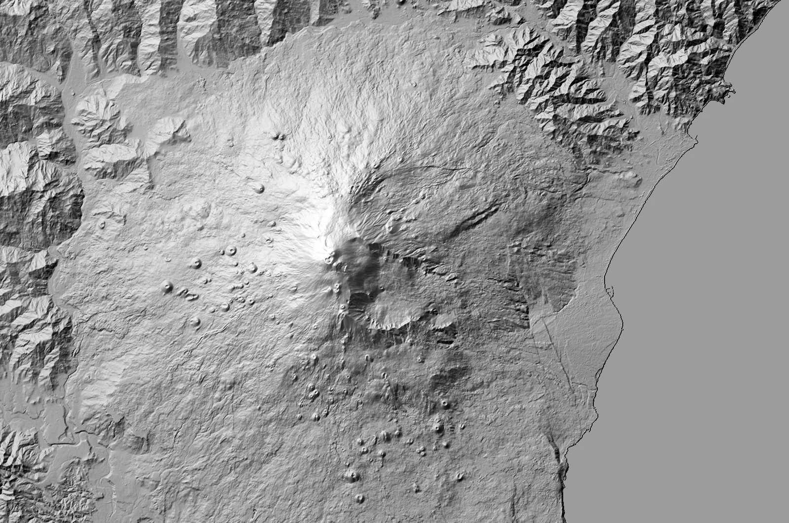
At the same time, we load a digital terrain model: the height of every point of the area. In France it is IGN's very fine RGE ALTI; elsewhere, the worldwide Copernicus model at 30 metres.
7. Draped and lit
The colour image is finally laid on this relief, like a cloth over a scale model, then lit by a sun placed where it was on the day the picture was taken. These shadows, consistent with the image, are what make mountains and volcanoes stand out. The difference shows clearly in our before / after.
And then?
Every image is then checked and retouched by hand before printing, and printed in France. You can run the same chain on any place in the world: the preview is free.
The Satellite rendering in the gallery
Create a satellite imageLoading the images…